Machesney Park night lights from space
Night Light of Machesney Park (Illinois) from space (United States) Src. Average luminocity for 10x10km area is 63.4349% and for 50x50km: 19.9636%.
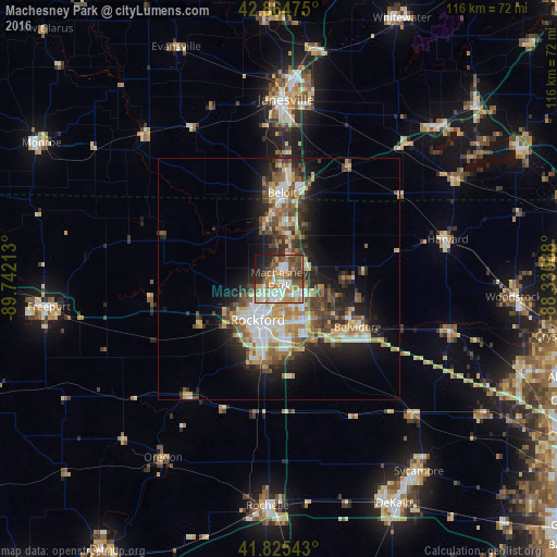
Analysis of Machesney Park night lights 2016
Square area 10x10 km:
 10.32%
90-99
16.83%80-89
5.87%70-79
12.06%60-69
9.37%50-59
11.11%40-49
11.11%30-39
8.41%20-29
8.57%10-19
5.71%0-9
0.63%Square area 50x50 km:
2.78%90-99
3.58%80-89
2.59%70-79
3.02%60-69
2.98%50-59
2.88%40-49
3.4%30-39
3.15%20-29
4.94%10-19
8.84%0-9
61.84%Clear (daylight) street map image can be seen on geolist.org.
Map coordinates:
42° 51' 53.1" North, 89° 44' 31.7" West
42° 20' 50.1" North, 89° 2' 20.4" West
41° 49' 31.5" North, 88° 20' 9.2" West
Some cities around Machesney Park sort by population:
• Rockford
9.6 km =6 mi,  208°
208°
• Beloit
17.9 km =11.1 mi,  1°
1°
• Belvidere
18.5 km =11.5 mi,  120°
120°
• Loves Park
3.4 km =2.1 mi, 207°
• Roscoe
7.7 km =4.8 mi,  18°
18°
• South Beloit
16.2 km =10.1 mi, 0°
• Rockton
12 km =7.5 mi,  346°
346°
• Poplar Grove
18 km =11.2 mi,  82°
82°
4900801 (p: 22,927)
Sources (retrieved 2019-11-25):
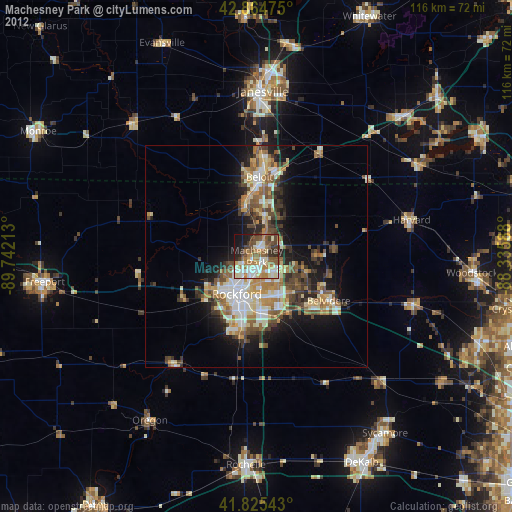
» Earth at Night: Flat Maps 2012, 2016