Riverdale night lights from space
Night Light of Riverdale (New York) from space (United States) Src. Average luminocity for 10x10km area is 90.7568% and for 50x50km: 80.6889%.
Analysis of Riverdale night lights 2016
Square area 10x10 km:
 46.77%
90-99
23.47%80-89
4.25%70-79
13.1%60-69
11.56%50-59
0.85%40-49
0%30-39
0%20-29
0%10-19
0%0-9
0%Square area 50x50 km:
37.62%90-99
17.35%80-89
6.9%70-79
8.62%60-69
11.59%50-59
5.01%40-49
2.93%30-39
3.38%20-29
3.42%10-19
2.74%0-9
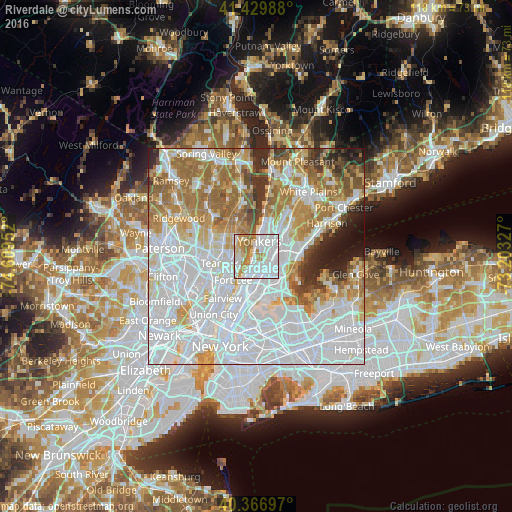
0.43%Clear (daylight) street map image can be seen on geolist.org.
Map coordinates:
41° 25' 47.6" North, 74° 36' 34.3" West
40° 54' 2" North, 73° 54' 23" West
40° 22' 1.1" North, 73° 12' 11.8" West
Some cities around Riverdale sort by population:
• Yonkers
3.5 km =2.2 mi,  10°
10°
• Kings Bridge
2.4 km =1.5 mi,  177°
177°
• Wakefield
4.6 km =2.9 mi,  93°
93°
• University Heights
4.5 km =2.8 mi, 183°
• Spuyten Duyvil
2.3 km =1.4 mi,  203°
203°
• Inwood
4.2 km =2.6 mi, 203°
• Woodlawn
3.3 km =2.1 mi, 94°
• Englewood Cliffs
4.2 km =2.6 mi,  246°
246°
5133917 (p: 9,174)
Sources (retrieved 2019-11-25):
» Earth at Night: Flat Maps 2012, 2016