River Park night lights from space
Night Light of River Park (Florida) from space (United States) Src. Average luminocity for 10x10km area is 74.8807% and for 50x50km: 24.3582%.
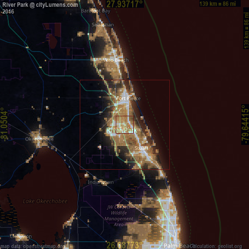
Analysis of River Park night lights 2016
Square area 10x10 km:
 7.58%
7.58%90-99
12.31%80-89
12.12%70-79
22.73%60-69
37.5%50-59
4.73%40-49
2.84%30-39
0.19%20-29
0%10-19
0%0-9
0%Square area 50x50 km:
2.44%90-99
3.09%80-89
2.05%70-79
2.89%60-69
9.71%50-59
5.69%40-49
3.25%30-39
3.03%20-29
6.23%10-19
7.62%0-9
54%Clear (daylight) street map image can be seen on geolist.org.
Map coordinates:
27° 56' 13.8" North, 81° 3' 1.4" West
27° 18' 51.2" North, 80° 20' 50.2" West
26° 41' 15.8" North, 79° 38' 38.9" West
Some cities around River Park sort by population:
• Port Saint Lucie
2.3 km =1.4 mi,  187°
187°
• Fort Pierce
14.9 km =9.3 mi,  8°
8°
• Stuart
16 km =9.9 mi,  144°
144°
• Jensen Beach
13.4 km =8.3 mi,  119°
119°
• Fort Pierce North
17.8 km =11.1 mi,  356°
356°
• Indian River Estates
6.7 km =4.2 mi,  33°
33°
• Hutchinson Island South
12.6 km =7.8 mi,  97°
97°
• Fort Pierce South
10.6 km =6.6 mi, 355°
4170092 (p: 5,222)
Sources (retrieved 2019-11-25):
» Earth at Night: Flat Maps 2012, 2016