Richmond West night lights from space
Night Light of Richmond West (Florida) from space (United States) Src. Average luminocity for 10x10km area is 81.8485% and for 50x50km: 39.8823%.
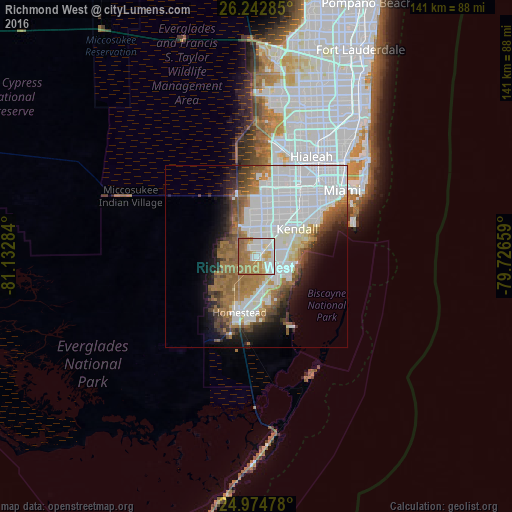
Analysis of Richmond West night lights 2016
Square area 10x10 km:
 25.95%
90-99
17.99%80-89
8.9%70-79
10.8%60-69
29.36%50-59
7.01%40-49
0%30-39
0%20-29
0%10-19
0%0-9
0%Square area 50x50 km:
17.08%90-99
7.42%80-89
2.12%70-79
1.75%60-69
8.11%50-59
4.37%40-49
3.41%30-39
2.92%20-29
3.73%10-19
6.98%0-9
42.11%Clear (daylight) street map image can be seen on geolist.org.
Map coordinates:
26° 14' 34.3" North, 81° 7' 58.2" West
25° 36' 37.8" North, 80° 25' 47" West
24° 58' 29.2" North, 79° 43' 35.7" West
Some cities around Richmond West sort by population:
• The Hammocks
6.9 km =4.3 mi,  347°
347°
• South Miami Heights
5.1 km =3.2 mi,  106°
106°
• The Crossings
7.3 km =4.5 mi,  23°
23°
• Country Walk
2.6 km =1.6 mi, 354°
• Three Lakes
4.7 km =2.9 mi,  41°
41°
• Palmetto Estates
6.9 km =4.3 mi,  79°
79°
• Goulds
7.1 km =4.4 mi,  138°
138°
• West Perrine
6.7 km =4.2 mi,  94°
94°
4170005 (p: 31,973)
Sources (retrieved 2019-11-25):
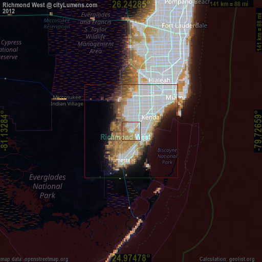
» Earth at Night: Flat Maps 2012, 2016