West Perrine night lights from space
Night Light of West Perrine (Florida) from space (United States) Src. Average luminocity for 10x10km area is 93.8504% and for 50x50km: 42.2514%.
Analysis of West Perrine night lights 2016
Square area 10x10 km:
 39.2%
39.2%90-99
35.8%80-89
16.29%70-79
4.92%60-69
2.08%50-59
1.33%40-49
0.38%30-39
0%20-29
0%10-19
0%0-9
0%Square area 50x50 km:
17.45%90-99
8.06%80-89
2.15%70-79
2.23%60-69
8.67%50-59
4.78%40-49
3.79%30-39
3.12%20-29
3.92%10-19
7.52%0-9
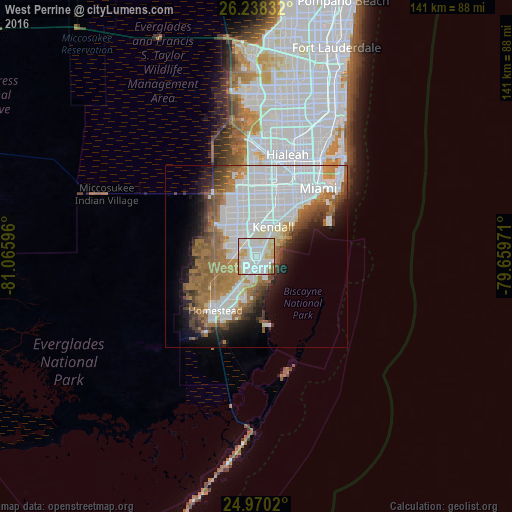
38.33%Clear (daylight) street map image can be seen on geolist.org.
Map coordinates:
26° 14' 18" North, 81° 3' 57.5" West
25° 36' 21.4" North, 80° 21' 46.2" West
24° 58' 12.7" North, 79° 39' 35" West
Some cities around West Perrine sort by population:
• Cutler Bay
4 km =2.5 mi,  140°
140°
• South Miami Heights
2 km =1.2 mi,  242°
242°
• Cutler Ridge
3.2 km =2 mi,  150°
150°
• Palmetto Bay
4.2 km =2.6 mi,  65°
65°
• Palmetto Estates
1.7 km =1.1 mi,  2°
2°
• Goulds
5.2 km =3.2 mi,  202°
202°
• Richmond Heights
2.9 km =1.8 mi,  347°
347°
• East Perrine
2.4 km =1.5 mi,  82°
82°
4177917 (p: 9,460)
Sources (retrieved 2019-11-25):
» Earth at Night: Flat Maps 2012, 2016