Randolph night lights from space
Night Light of Randolph (New Jersey) from space (United States) Src. Average luminocity for 10x10km area is 54.0544% and for 50x50km: 37.2134%.
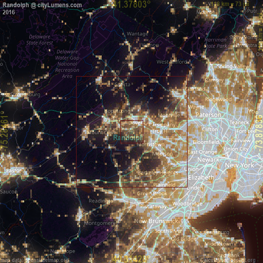
Analysis of Randolph night lights 2016
Square area 10x10 km:
 4.08%
4.08%90-99
4.42%80-89
5.1%70-79
12.76%60-69
7.82%50-59
17.52%40-49
23.64%30-39
11.56%20-29
8.5%10-19
4.59%0-9
0%Square area 50x50 km:
4.19%90-99
4.97%80-89
4.8%70-79
6.97%60-69
8.16%50-59
7.18%40-49
6.9%30-39
5.55%20-29
7.44%10-19
14.49%0-9
29.35%Clear (daylight) street map image can be seen on geolist.org.
Map coordinates:
41° 22' 40.9" North, 75° 17' 4.6" West
40° 50' 53.8" North, 74° 34' 53.3" West
40° 18' 51.4" North, 73° 52' 42.1" West
Some cities around Randolph sort by population:
• Dover
4.3 km =2.7 mi,  22°
22°
• Succasunna
5.4 km =3.4 mi,  294°
294°
• Wharton
5 km =3.1 mi,  359°
359°
• Rockaway
8.2 km =5.1 mi,  43°
43°
• Landing
9.5 km =5.9 mi,  311°
311°
• Morris Plains
9 km =5.6 mi,  109°
109°
• Mount Arlington
9.7 km =6 mi,  332°
332°
• Mendham
8.2 km =5.1 mi,  191°
191°
8469295 (p: 25,734)
Sources (retrieved 2019-11-25):
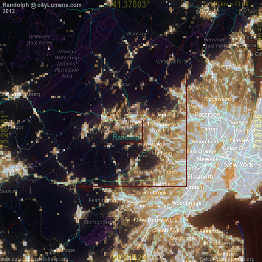
» Earth at Night: Flat Maps 2012, 2016