Pullman night lights from space
Night Light of Pullman (Washington) from space (United States) Src. Average luminocity for 10x10km area is 22.5848% and for 50x50km: 2.0369%.
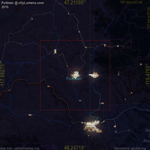
Analysis of Pullman night lights 2016
Square area 10x10 km:
 5.51%
5.51%90-99
4.46%80-89
1.19%70-79
1.64%60-69
2.68%50-59
3.57%40-49
1.64%30-39
0.6%20-29
1.34%10-19
24.26%0-9
53.13%Square area 50x50 km:
0.31%90-99
0.32%80-89
0.23%70-79
0.22%60-69
0.3%50-59
0.31%40-49
0.17%30-39
0.07%20-29
0.13%10-19
1.56%0-9
96.37%Clear (daylight) street map image can be seen on geolist.org.
Map coordinates:
47° 12' 39.8" North, 117° 52' 57.9" West
46° 43' 52.6" North, 117° 10' 46.6" West
46° 14' 49.8" North, 116° 28' 35.4" West
Some cities around Pullman sort by population:
• Lewiston
37.1 km =23.1 mi,  160°
160°
• Lewiston Orchards
42 km =26.1 mi, 158°
• Opportunity
102.2 km =63.5 mi,  357°
357°
• Moscow
13.7 km =8.5 mi,  89°
89°
• Cheney
89.3 km =55.5 mi,  340°
340°
• Clarkston
36.5 km =22.7 mi, 163°
• Clarkston Heights-Vineland
38.9 km =24.2 mi,  169°
169°
• West Clarkston-Highland
37.6 km =23.4 mi, 166°
5807540 (p: 32,816)
Sources (retrieved 2019-11-25):
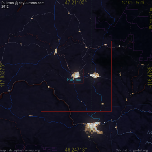
» Earth at Night: Flat Maps 2012, 2016