Lewiston Orchards night lights from space
Night Light of Lewiston Orchards (Idaho) from space (United States) Src. Average luminocity for 10x10km area is 32.2827% and for 50x50km: 2.7881%.
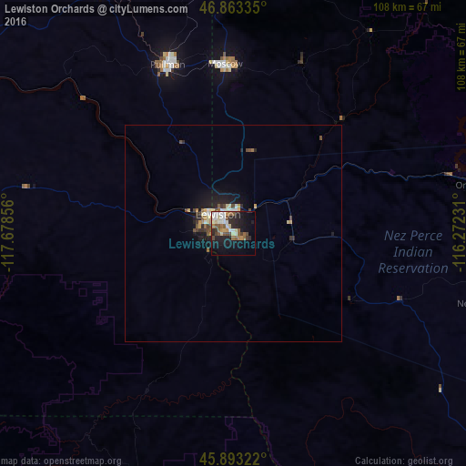
Analysis of Lewiston Orchards night lights 2016
Square area 10x10 km:
 5.21%
5.21%90-99
5.8%80-89
4.32%70-79
1.93%60-69
5.36%50-59
5.65%40-49
5.06%30-39
1.49%20-29
10.57%10-19
22.92%0-9
31.7%Square area 50x50 km:
0.32%90-99
0.41%80-89
0.4%70-79
0.24%60-69
0.34%50-59
0.42%40-49
0.5%30-39
0.28%20-29
0.9%10-19
2.33%0-9
93.85%Clear (daylight) street map image can be seen on geolist.org.
Map coordinates:
46° 51' 48.1" North, 117° 40' 42.8" West
46° 22' 49.6" North, 116° 58' 31.5" West
45° 53' 35.6" North, 116° 16' 20.3" West
Some cities around Lewiston Orchards sort by population:
• Pullman
42 km =26.1 mi,  338°
338°
• Walla Walla
110.9 km =68.9 mi,  251°
251°
• Moscow
39.2 km =24.4 mi,  357°
357°
• College Place
114.8 km =71.3 mi, 251°
• Clarkston
6.7 km =4.2 mi,  306°
306°
• Milton-Freewater
119.6 km =74.3 mi, 245°
• Clarkston Heights-Vineland
8.3 km =5.2 mi,  275°
275°
• West Clarkston-Highland
7.2 km =4.5 mi,  290°
290°
5598542 (p: 31,422)
Sources (retrieved 2019-11-25):
» Earth at Night: Flat Maps 2012, 2016