Lewiston night lights from space
Night Light of Lewiston (Idaho) from space (United States) Src. Average luminocity for 10x10km area is 48.878% and for 50x50km: 2.7832%.
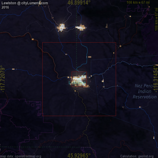
Analysis of Lewiston night lights 2016
Square area 10x10 km:
 8.18%
8.18%90-99
10.42%80-89
9.23%70-79
4.02%60-69
5.51%50-59
7.59%40-49
7.74%30-39
4.17%20-29
15.03%10-19
25.15%0-9
2.98%Square area 50x50 km:
0.32%90-99
0.41%80-89
0.4%70-79
0.24%60-69
0.34%50-59
0.42%40-49
0.5%30-39
0.28%20-29
0.9%10-19
2.31%0-9
93.87%Clear (daylight) street map image can be seen on geolist.org.
Map coordinates:
46° 53' 56.9" North, 117° 43' 14.8" West
46° 24' 59.6" North, 117° 1' 3.6" West
45° 55' 46.7" North, 116° 18' 52.3" West
Some cities around Lewiston sort by population:
• Pullman
37.1 km =23.1 mi,  340°
340°
• Walla Walla
109.2 km =67.9 mi,  248°
248°
• Moscow
35.1 km =21.8 mi,  2°
2°
• College Place
113.1 km =70.3 mi, 248°
• Clarkston
2.1 km =1.3 mi,  269°
269°
• Milton-Freewater
118.4 km =73.6 mi,  242°
242°
• Clarkston Heights-Vineland
6 km =3.7 mi, 237°
• West Clarkston-Highland
3.9 km =2.4 mi, 246°
5598538 (p: 32,544)
Sources (retrieved 2019-11-25):
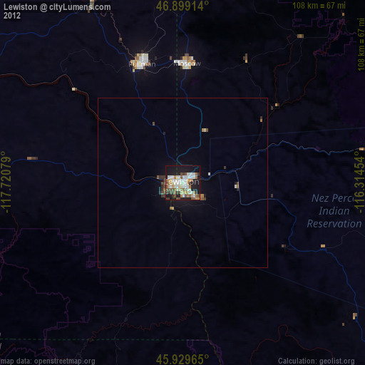
» Earth at Night: Flat Maps 2012, 2016