Colorado Springs night lights from space
Night Light of Colorado Springs (Colorado) from space (United States) Src. Average luminocity for 10x10km area is 87.1412% and for 50x50km: 23.0941%.
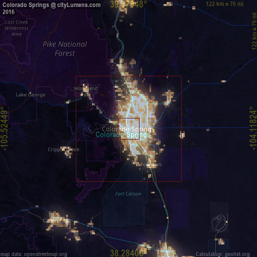

Analysis of Colorado Springs night lights 2016
Square area 10x10 km:
 31.29%
90-99
30.61%80-89
13.44%70-79
6.97%60-69
7.14%50-59
4.93%40-49
2.89%30-39
0.85%20-29
1.87%10-19
0%0-9
0%Square area 50x50 km:
4.21%90-99
4.67%80-89
3.08%70-79
3.83%60-69
3.51%50-59
3.08%40-49
2.03%30-39
3.12%20-29
4.65%10-19
7.87%0-9
59.95%Clear (daylight) street map image can be seen on geolist.org.
Map coordinates:
39° 22' 46.1" North, 105° 31' 28.2" West
38° 50' 2" North, 104° 49' 16.9" West
38° 17' 2.6" North, 104° 7' 5.7" West
Some cities around Colorado Springs sort by population:
• Security-Widefield
13.4 km =8.3 mi,  136°
136°
• Fountain
19.8 km =12.3 mi,  148°
148°
• Cimarron Hills
11 km =6.8 mi,  75°
75°
• Fort Carson
11.1 km =6.9 mi,  165°
165°
• Black Forest
22.5 km =14 mi,  27°
27°
• Stratmoor
7.6 km =4.7 mi, 151°
• Air Force Academy
18.2 km =11.3 mi,  348°
348°
• Manitou Springs
8.8 km =5.5 mi,  289°
289°
5417598 (p: 456,568)
Sources (retrieved 2019-11-25):
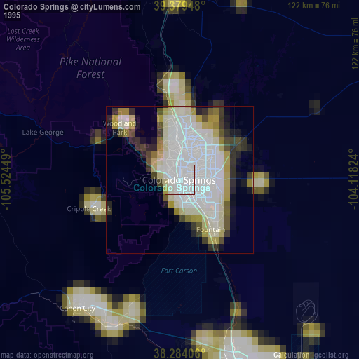
» NASA, Earths city lights 1995
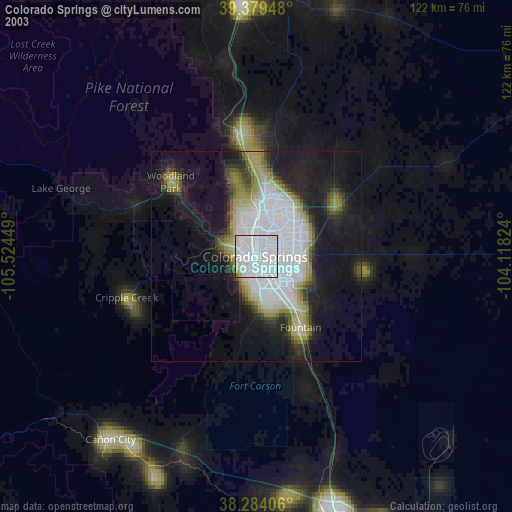
» NASA city lights 2003
» Earth at Night: Flat Maps 2012, 2016