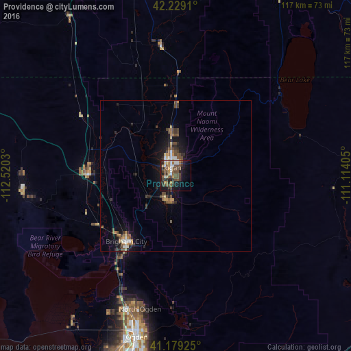
Providence night lights from space
Night Light of Providence (Utah) from space (United States) Src. Average luminocity for 10x10km area is 35.2143% and for 50x50km: 4.3929%.
Analysis of Providence night lights 2016
Square area 10x10 km:
 4.06%
4.06%90-99
4.06%80-89
3.25%70-79
4.22%60-69
3.25%50-59
8.93%40-49
12.82%30-39
8.44%20-29
7.31%10-19
23.21%0-9
20.45%Square area 50x50 km:
0.39%90-99
0.43%80-89
0.37%70-79
0.45%60-69
0.64%50-59
0.89%40-49
1.25%30-39
0.8%20-29
1.09%10-19
3.65%0-9
90.05%Clear (daylight) street map image can be seen on geolist.org.
Map coordinates:
42° 13' 44.8" North, 112° 31' 13.1" West
41° 42' 22.8" North, 111° 49' 1.8" West
41° 10' 45.3" North, 111° 6' 50.6" West
Some cities around Providence sort by population:
• Logan
3.5 km =2.2 mi,  336°
336°
• Brigham City
27.3 km =17 mi,  217°
217°
• Smithfield
14.7 km =9.1 mi,  354°
354°
• North Logan
7.1 km =4.4 mi,  8°
8°
• Tremonton
28.9 km =18 mi,  271°
271°
• Hyrum
8.5 km =5.3 mi,  199°
199°
• Nibley
3.8 km =2.4 mi, 200°
• Preston
43.6 km =27.1 mi, 353°
5780020 (p: 7,124)
Sources (retrieved 2019-11-25):
» Earth at Night: Flat Maps 2012, 2016