North Logan night lights from space
Night Light of North Logan (Utah) from space (United States) Src. Average luminocity for 10x10km area is 35.6721% and for 50x50km: 3.5005%.
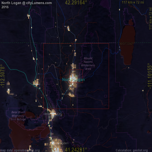
Analysis of North Logan night lights 2016
Square area 10x10 km:
 6.01%
6.01%90-99
6.33%80-89
4.55%70-79
3.08%60-69
4.38%50-59
5.36%40-49
9.74%30-39
3.41%20-29
8.44%10-19
21.75%0-9
26.95%Square area 50x50 km:
0.28%90-99
0.29%80-89
0.32%70-79
0.34%60-69
0.44%50-59
0.64%40-49
1.2%30-39
0.67%20-29
0.96%10-19
2.87%0-9
91.98%Clear (daylight) street map image can be seen on geolist.org.
Map coordinates:
42° 17' 29.9" North, 112° 30' 28.1" West
41° 46' 9.7" North, 111° 48' 16.8" West
41° 14' 34.1" North, 111° 6' 5.6" West
Some cities around North Logan sort by population:
• Logan
4.5 km =2.8 mi,  213°
213°
• Brigham City
33.7 km =20.9 mi, 211°
• Smithfield
8 km =5 mi,  343°
343°
• Tremonton
30.6 km =19 mi,  257°
257°
• Hyrum
15.5 km =9.6 mi,  194°
194°
• Providence
7.1 km =4.4 mi, 188°
• Nibley
10.8 km =6.7 mi, 192°
• Preston
36.8 km =22.9 mi,  350°
350°
5779025 (p: 10,181)
Sources (retrieved 2019-11-25):
» Earth at Night: Flat Maps 2012, 2016