Post Falls night lights from space
Night Light of Post Falls (Idaho) from space (United States) Src. Average luminocity for 10x10km area is 38.4598% and for 50x50km: 10.3259%.
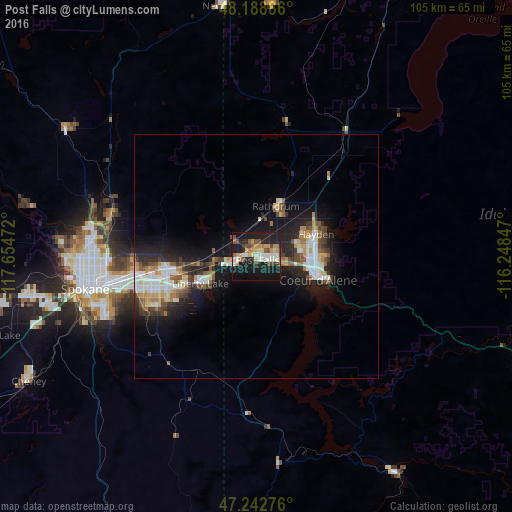
Analysis of Post Falls night lights 2016
Square area 10x10 km:
 6.55%
6.55%90-99
5.36%80-89
5.51%70-79
5.95%60-69
3.87%50-59
3.87%40-49
6.85%30-39
2.38%20-29
9.67%10-19
45.24%0-9
4.76%Square area 50x50 km:
1.76%90-99
1.76%80-89
1.17%70-79
1.05%60-69
1.2%50-59
1.37%40-49
1.36%30-39
1.36%20-29
3%10-19
8.6%0-9
77.37%Clear (daylight) street map image can be seen on geolist.org.
Map coordinates:
48° 11' 19.9" North, 117° 39' 17" West
47° 43' 4.7" North, 116° 57' 5.7" West
47° 14' 33.9" North, 116° 14' 54.5" West
Some cities around Post Falls sort by population:
• Spokane Valley
22.1 km =13.7 mi,  256°
256°
• Coeur d'Alene
13.6 km =8.5 mi,  109°
109°
• Opportunity
22.9 km =14.2 mi,  250°
250°
• Hayden
13.4 km =8.3 mi,  66°
66°
• Veradale
20.6 km =12.8 mi, 248°
• Liberty Lake
13.3 km =8.3 mi, 249°
• Rathdrum
11.3 km =7 mi,  21°
21°
• Otis Orchards-East Farms
9.6 km =6 mi, 264°
5604353 (p: 30,453)
Sources (retrieved 2019-11-25):
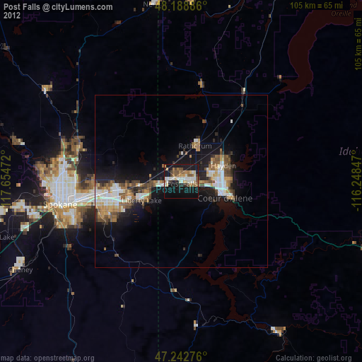
» Earth at Night: Flat Maps 2012, 2016