Veradale night lights from space
Night Light of Veradale (Washington) from space (United States) Src. Average luminocity for 10x10km area is 69.4018% and for 50x50km: 17.0651%.
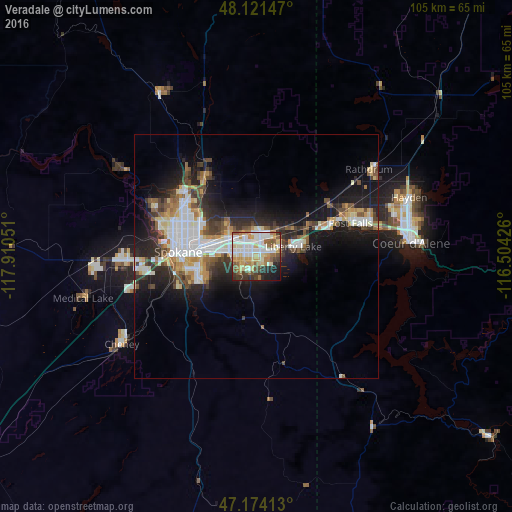
Analysis of Veradale night lights 2016
Square area 10x10 km:
 18.15%
90-99
17.26%80-89
11.9%70-79
8.48%60-69
8.93%50-59
9.08%40-49
4.76%30-39
8.04%20-29
7.14%10-19
5.8%0-9
0.45%Square area 50x50 km:
3.75%90-99
3.16%80-89
1.83%70-79
1.92%60-69
1.59%50-59
2.24%40-49
2.2%30-39
2.56%20-29
4.5%10-19
10.03%0-9
66.21%Clear (daylight) street map image can be seen on geolist.org.
Map coordinates:
48° 7' 17.3" North, 117° 54' 37.8" West
47° 38' 59.8" North, 117° 12' 26.6" West
47° 10' 26.9" North, 116° 30' 15.3" West
Some cities around Veradale sort by population:
• Spokane
16.6 km =10.3 mi,  273°
273°
• Spokane Valley
3.5 km =2.2 mi,  317°
317°
• Opportunity
2.4 km =1.5 mi, 270°
• Dishman
5.3 km =3.3 mi,  282°
282°
• Liberty Lake
7.3 km =4.5 mi,  66°
66°
• Mead
17.1 km =10.6 mi, 319°
• Otis Orchards-East Farms
11.6 km =7.2 mi,  55°
55°
• Country Homes
18.4 km =11.4 mi,  306°
306°
5814686 (p: 9,991)
Sources (retrieved 2019-11-25):
» Earth at Night: Flat Maps 2012, 2016