Spokane Valley night lights from space
Night Light of Spokane Valley (Washington) from space (United States) Src. Average luminocity for 10x10km area is 74.378% and for 50x50km: 17.1609%.
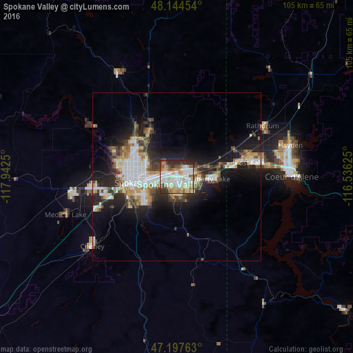
Analysis of Spokane Valley night lights 2016
Square area 10x10 km:
 20.83%
90-99
20.98%80-89
10.27%70-79
10.86%60-69
7.44%50-59
9.52%40-49
3.57%30-39
7.74%20-29
8.78%10-19
0%0-9
0%Square area 50x50 km:
3.8%90-99
3.25%80-89
1.79%70-79
1.97%60-69
1.52%50-59
2.14%40-49
2.16%30-39
2.61%20-29
4.7%10-19
9.76%0-9
66.29%Clear (daylight) street map image can be seen on geolist.org.
Map coordinates:
48° 8' 40.3" North, 117° 56' 33" West
47° 40' 23.6" North, 117° 14' 21.7" West
47° 11' 51.5" North, 116° 32' 10.5" West
Some cities around Spokane Valley sort by population:
• Opportunity
2.6 km =1.6 mi,  180°
180°
• Veradale
3.5 km =2.2 mi,  137°
137°
• Dishman
3.1 km =1.9 mi,  241°
241°
• Liberty Lake
9.1 km =5.7 mi,  88°
88°
• Fairwood
16.9 km =10.5 mi,  308°
308°
• Mead
13.6 km =8.5 mi,  320°
320°
• Otis Orchards-East Farms
12.6 km =7.8 mi,  71°
71°
• Country Homes
14.9 km =9.3 mi,  304°
304°
5811729 (p: 94,919)
Sources (retrieved 2019-11-25):
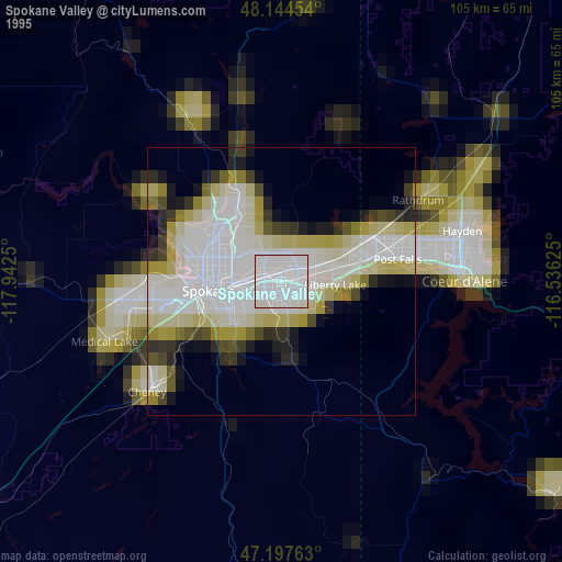
» NASA, Earths city lights 1995
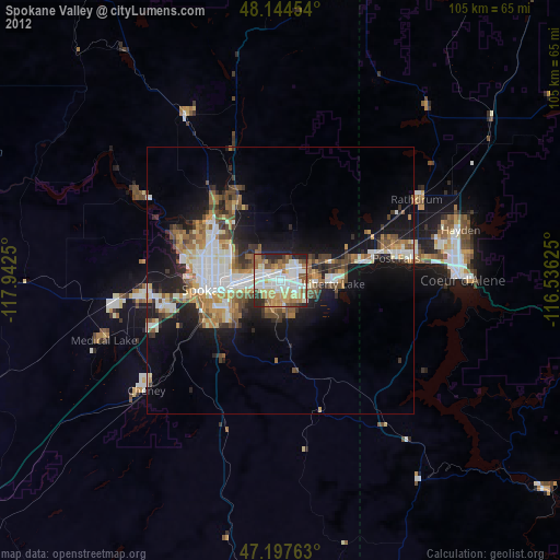
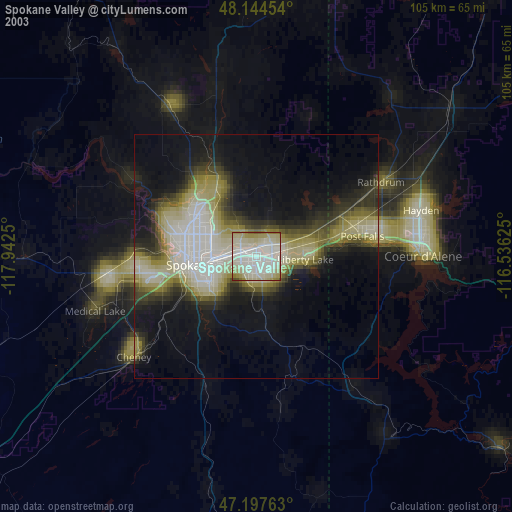
» NASA city lights 2003
» Earth at Night: Flat Maps 2012, 2016