Coeur d'Alene night lights from space
Night Light of Coeur d'Alene (Idaho) from space (United States) Src. Average luminocity for 10x10km area is 36.3095% and for 50x50km: 6.2028%.
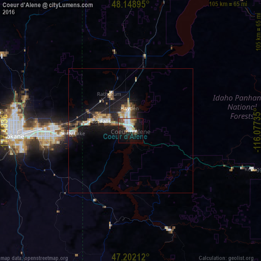
Analysis of Coeur d'Alene night lights 2016
Square area 10x10 km:
 9.82%
9.82%90-99
8.78%80-89
1.64%70-79
2.08%60-69
4.17%50-59
2.83%40-49
5.06%30-39
2.53%20-29
12.35%10-19
23.66%0-9
27.08%Square area 50x50 km:
0.95%90-99
0.95%80-89
0.64%70-79
0.63%60-69
0.75%50-59
0.78%40-49
0.98%30-39
0.65%20-29
1.76%10-19
6.47%0-9
85.45%Clear (daylight) street map image can be seen on geolist.org.
Map coordinates:
48° 8' 56.2" North, 117° 29' 1" West
47° 40' 39.6" North, 116° 46' 49.7" West
47° 12' 7.6" North, 116° 4' 38.5" West
Some cities around Coeur d'Alene sort by population:
• Spokane Valley
34.4 km =21.4 mi,  269°
269°
• Post Falls
13.6 km =8.5 mi,  289°
289°
• Opportunity
34.5 km =21.4 mi,  264°
264°
• Hayden
9.8 km =6.1 mi,  357°
357°
• Veradale
32.1 km =19.9 mi, 264°
• Liberty Lake
25.3 km =15.7 mi, 269°
• Rathdrum
17.3 km =10.7 mi,  329°
329°
• Otis Orchards-East Farms
22.7 km =14.1 mi,  279°
279°
5589173 (p: 49,122)
Sources (retrieved 2019-11-25):
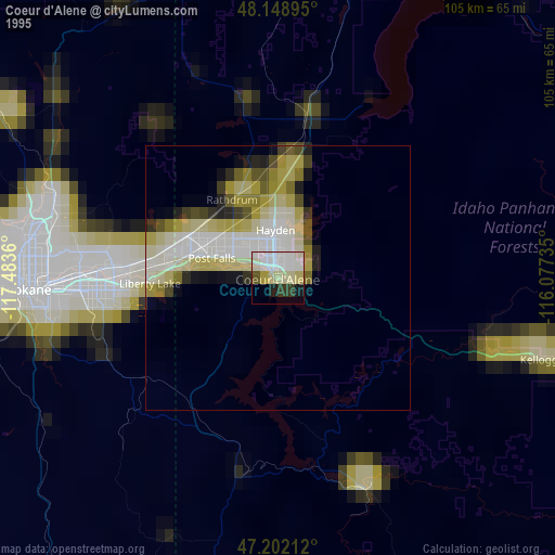
» NASA, Earths city lights 1995
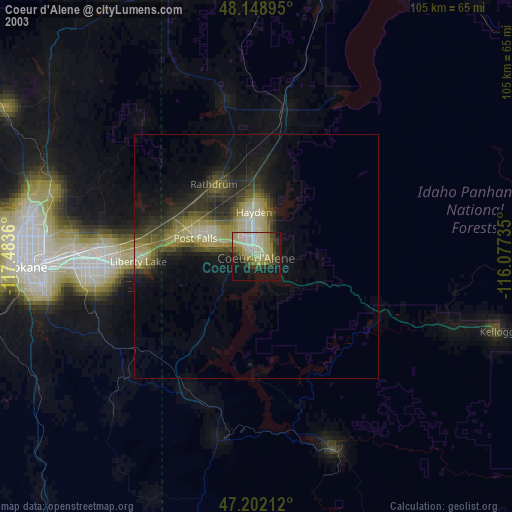
» NASA city lights 2003
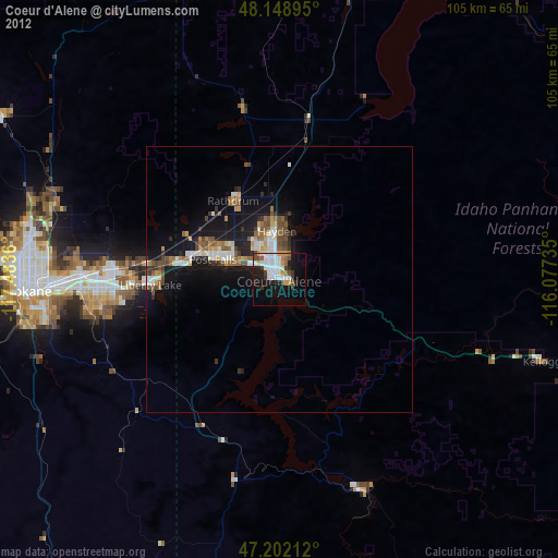
» Earth at Night: Flat Maps 2012, 2016