Hayden night lights from space
Night Light of Hayden (Idaho) from space (United States) Src. Average luminocity for 10x10km area is 35.006% and for 50x50km: 6.4158%.
Analysis of Hayden night lights 2016
Square area 10x10 km:
 4.46%
4.46%90-99
5.51%80-89
4.91%70-79
5.65%60-69
4.46%50-59
4.02%40-49
6.25%30-39
5.95%20-29
9.52%10-19
25%0-9
24.26%Square area 50x50 km:
0.96%90-99
0.96%80-89
0.66%70-79
0.68%60-69
0.75%50-59
0.84%40-49
1.03%30-39
0.7%20-29
1.83%10-19
6.67%0-9
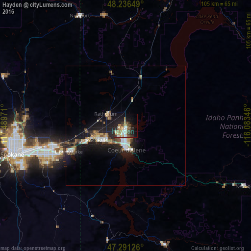
84.93%Clear (daylight) street map image can be seen on geolist.org.
Map coordinates:
48° 14' 11.4" North, 117° 29' 23" West
47° 45' 57.7" North, 116° 47' 11.7" West
47° 17' 28.5" North, 116° 5' 0.5" West
Some cities around Hayden sort by population:
• Spokane Valley
35.4 km =22 mi,  253°
253°
• Coeur d'Alene
9.8 km =6.1 mi,  177°
177°
• Post Falls
13.4 km =8.3 mi, 246°
• Opportunity
36.3 km =22.6 mi, 249°
• Veradale
34 km =21.1 mi, 247°
• Liberty Lake
26.8 km =16.7 mi, 248°
• Rathdrum
9.7 km =6 mi,  302°
302°
• Otis Orchards-East Farms
22.8 km =14.2 mi, 254°
5595320 (p: 14,133)
Sources (retrieved 2019-11-25):
» Earth at Night: Flat Maps 2012, 2016