Palm City night lights from space
Night Light of Palm City (Florida) from space (United States) Src. Average luminocity for 10x10km area is 68.3239% and for 50x50km: 21.9211%.
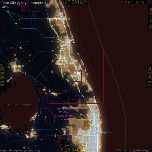
Analysis of Palm City night lights 2016
Square area 10x10 km:
 9.85%
9.85%90-99
12.31%80-89
11.74%70-79
5.49%60-69
21.78%50-59
25.76%40-49
5.3%30-39
2.65%20-29
4.73%10-19
0.38%0-9
0%Square area 50x50 km:
1.67%90-99
2.45%80-89
1.82%70-79
2.66%60-69
9.01%50-59
5.56%40-49
2.76%30-39
2.49%20-29
5.21%10-19
9.86%0-9
56.5%Clear (daylight) street map image can be seen on geolist.org.
Map coordinates:
27° 47' 29.8" North, 80° 58' 9.4" West
27° 10' 4.2" North, 80° 15' 58.2" West
26° 32' 25.9" North, 79° 33' 46.9" West
Some cities around Palm City sort by population:
• Port Saint Lucie
16.3 km =10.1 mi,  329°
329°
• Stuart
3.6 km =2.2 mi,  21°
21°
• Jensen Beach
10.3 km =6.4 mi, 20°
• Hobe Sound
17.6 km =10.9 mi,  133°
133°
• Port Salerno
7 km =4.3 mi,  112°
112°
• Indian River Estates
22.3 km =13.9 mi,  348°
348°
• River Park
18.1 km =11.2 mi, 333°
• Hutchinson Island South
15.3 km =9.5 mi, 17°
4167536 (p: 23,120)
Sources (retrieved 2019-11-25):
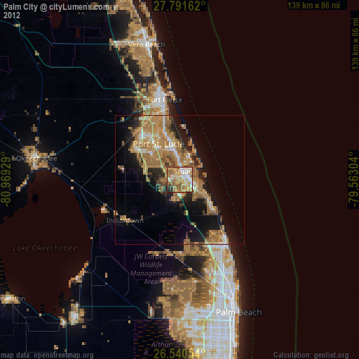
» Earth at Night: Flat Maps 2012, 2016