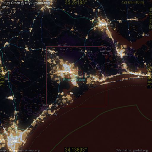
Piney Green night lights from space
Night Light of Piney Green (North Carolina) from space (United States) Src. Average luminocity for 10x10km area is 53.3352% and for 50x50km: 17.623%.
Analysis of Piney Green night lights 2016
Square area 10x10 km:
 5.86%
5.86%90-99
8.06%80-89
10.07%70-79
13%60-69
15.2%50-59
4.21%40-49
3.85%30-39
5.68%20-29
13%10-19
20.33%0-9
0.73%Square area 50x50 km:
1.47%90-99
1.59%80-89
2.49%70-79
2.56%60-69
4.18%50-59
2%40-49
2.71%30-39
4.33%20-29
4.45%10-19
14.32%0-9
59.9%Clear (daylight) street map image can be seen on geolist.org.
Map coordinates:
35° 17' 30.9" North, 78° 1' 24.1" West
34° 42' 57.6" North, 77° 19' 12.9" West
34° 8' 9.7" North, 76° 37' 1.6" West
Some cities around Piney Green sort by population:
• Jacksonville
10.9 km =6.8 mi,  292°
292°
• New Bern
50.4 km =31.3 mi,  29°
29°
• Kinston
65.3 km =40.6 mi,  338°
338°
• Havelock
42.3 km =26.3 mi,  64°
64°
• Morehead City
54.3 km =33.7 mi,  89°
89°
• Half Moon
17.6 km =10.9 mi,  313°
313°
• Ogden
67.2 km =41.8 mi,  222°
222°
• James City
48.9 km =30.4 mi, 32°
4485355 (p: 13,293)
Sources (retrieved 2019-11-25):
» Earth at Night: Flat Maps 2012, 2016