Jacksonville night lights from space
Night Light of Jacksonville (North Carolina) from space (United States) Src. Average luminocity for 10x10km area is 75.6227% and for 50x50km: 15.544%.
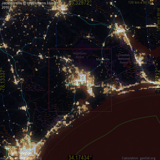
Analysis of Jacksonville night lights 2016
Square area 10x10 km:
 18.68%
90-99
18.13%80-89
16.67%70-79
8.61%60-69
13.74%50-59
5.31%40-49
5.86%30-39
11.9%20-29
1.1%10-19
0%0-9
0%Square area 50x50 km:
1.37%90-99
1.49%80-89
2.12%70-79
2.17%60-69
3.67%50-59
1.88%40-49
2.44%30-39
3.77%20-29
4.05%10-19
11.66%0-9
65.39%Clear (daylight) street map image can be seen on geolist.org.
Map coordinates:
35° 19' 47" North, 78° 8' 0.1" West
34° 45' 14.6" North, 77° 25' 48.9" West
34° 10' 27.6" North, 76° 43' 37.6" West
Some cities around Jacksonville sort by population:
• New Bern
52.8 km =32.8 mi,  41°
41°
• Kinston
58.2 km =36.2 mi,  346°
346°
• Havelock
50.2 km =31.2 mi,  73°
73°
• Murraysville
63.7 km =39.6 mi,  216°
216°
• Piney Green
10.9 km =6.8 mi,  112°
112°
• Half Moon
8.4 km =5.2 mi,  341°
341°
• Ogden
64.3 km =40 mi,  213°
213°
• James City
51.8 km =32.2 mi, 44°
4473083 (p: 67,357)
Sources (retrieved 2019-11-25):
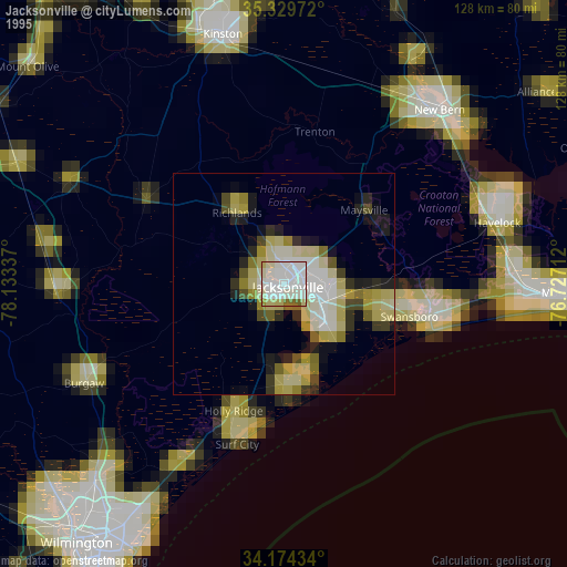
» NASA, Earths city lights 1995
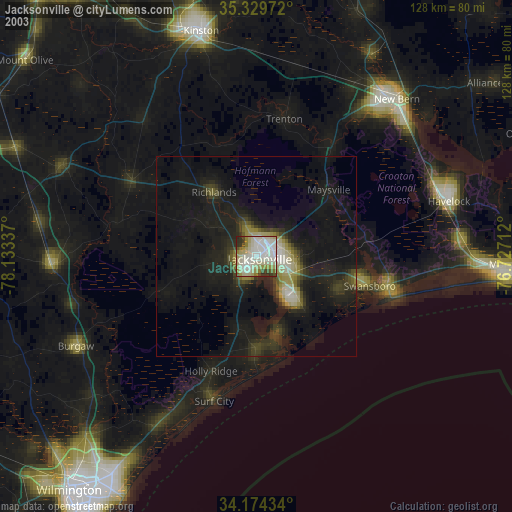
» NASA city lights 2003
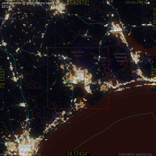
» Earth at Night: Flat Maps 2012, 2016