Pedley night lights from space
Night Light of Pedley (California) from space (United States) Src. Average luminocity for 10x10km area is 77.7535% and for 50x50km: 66.0998%.
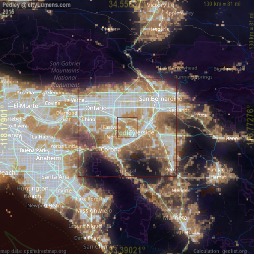
Analysis of Pedley night lights 2016
Square area 10x10 km:
 9.44%
9.44%90-99
16.43%80-89
10.66%70-79
24.65%60-69
38.64%50-59
0.17%40-49
0%30-39
0%20-29
0%10-19
0%0-9
0%Square area 50x50 km:
16.72%90-99
16.16%80-89
7.58%70-79
9.74%60-69
14.35%50-59
7.14%40-49
6.67%30-39
4.34%20-29
4.76%10-19
7.02%0-9
5.53%Clear (daylight) street map image can be seen on geolist.org.
Map coordinates:
34° 33' 22.9" North, 118° 10' 44.4" West
33° 58' 31" North, 117° 28' 33.2" West
33° 23' 24.8" North, 116° 46' 21.9" West
Some cities around Pedley sort by population:
• Riverside
7.7 km =4.8 mi,  108°
108°
• Eastvale
8.2 km =5.1 mi,  260°
260°
• Rubidoux
6.9 km =4.3 mi,  70°
70°
• Norco
8.3 km =5.2 mi,  233°
233°
• Jurupa Valley
4.2 km =2.6 mi,  297°
297°
• Glen Avon
4.1 km =2.5 mi,  348°
348°
• Home Gardens
11.6 km =7.2 mi,  201°
201°
• Sunnyslope
5.7 km =3.5 mi,  43°
43°
5381796 (p: 12,672)
Sources (retrieved 2019-11-25):
» Earth at Night: Flat Maps 2012, 2016