Riverside night lights from space
Night Light of Riverside (California) from space (United States) Src. Average luminocity for 10x10km area is 83.8462% and for 50x50km: 63.2927%.
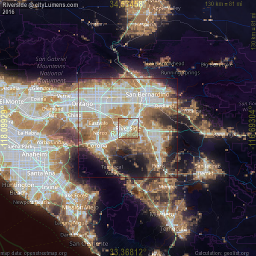
Analysis of Riverside night lights 2016
Square area 10x10 km:
 19.76%
90-99
25%80-89
13.81%70-79
17.66%60-69
19.93%50-59
3.85%40-49
0%30-39
0%20-29
0%10-19
0%0-9
0%Square area 50x50 km:
15.19%90-99
14.62%80-89
7.07%70-79
9.81%60-69
14.7%50-59
7.61%40-49
6.12%30-39
3.95%20-29
6%10-19
8.38%0-9
6.55%Clear (daylight) street map image can be seen on geolist.org.
Map coordinates:
34° 32' 4.5" North, 118° 5' 57.4" West
33° 57' 12.1" North, 117° 23' 46.2" West
33° 22' 5.2" North, 116° 41' 34.9" West
Some cities around Riverside sort by population:
• Rubidoux
4.8 km =3 mi,  349°
349°
• Bloomington
13 km =8.1 mi,  0°
0°
• Jurupa Valley
11.9 km =7.4 mi,  291°
291°
• Glen Avon
10.4 km =6.5 mi,  308°
308°
• Woodcrest
8.7 km =5.4 mi,  155°
155°
• Pedley
7.7 km =4.8 mi, 288°
• Grand Terrace
11.8 km =7.3 mi,  40°
40°
• Sunnyslope
7.4 km =4.6 mi,  332°
332°
5387877 (p: 322,424)
Sources (retrieved 2019-11-25):
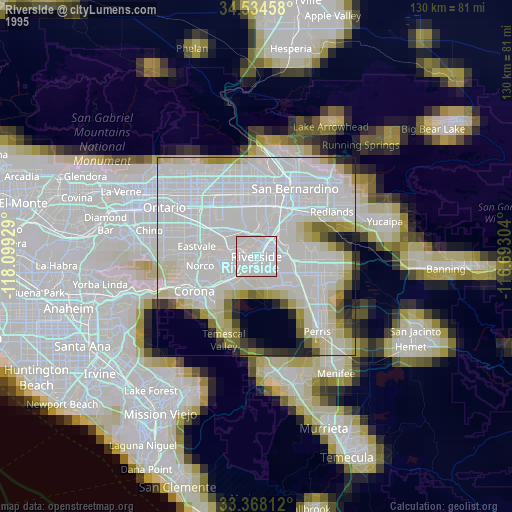
» NASA, Earths city lights 1995
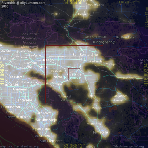
» NASA city lights 2003
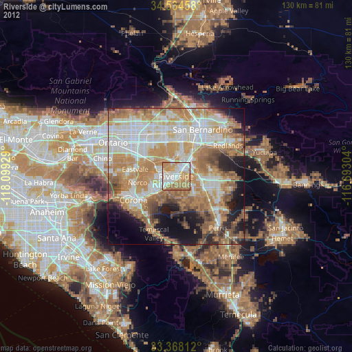
» Earth at Night: Flat Maps 2012, 2016