Rubidoux night lights from space
Night Light of Rubidoux (California) from space (United States) Src. Average luminocity for 10x10km area is 84.0507% and for 50x50km: 63.8442%.
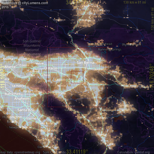
Analysis of Rubidoux night lights 2016
Square area 10x10 km:
 18.36%
90-99
22.73%80-89
14.69%70-79
26.75%60-69
17.48%50-59
0%40-49
0%30-39
0%20-29
0%10-19
0%0-9
0%Square area 50x50 km:
15.42%90-99
14.94%80-89
7.09%70-79
9.99%60-69
14.72%50-59
7.54%40-49
5.56%30-39
3.7%20-29
6.78%10-19
8.45%0-9
5.81%Clear (daylight) street map image can be seen on geolist.org.
Map coordinates:
34° 34' 37.5" North, 118° 6' 31.4" West
33° 59' 46.1" North, 117° 24' 20.2" West
33° 24' 40.3" North, 116° 42' 8.9" West
Some cities around Rubidoux sort by population:
• Riverside
4.8 km =3 mi,  169°
169°
• Fontana
11 km =6.8 mi,  345°
345°
• Bloomington
8.3 km =5.2 mi,  6°
6°
• Jurupa Valley
10.2 km =6.3 mi,  267°
267°
• Glen Avon
7.5 km =4.7 mi,  283°
283°
• Pedley
6.9 km =4.3 mi,  250°
250°
• Grand Terrace
9.5 km =5.9 mi,  63°
63°
• Sunnyslope
3.1 km =1.9 mi,  304°
304°
5389213 (p: 34,280)
Sources (retrieved 2019-11-25):
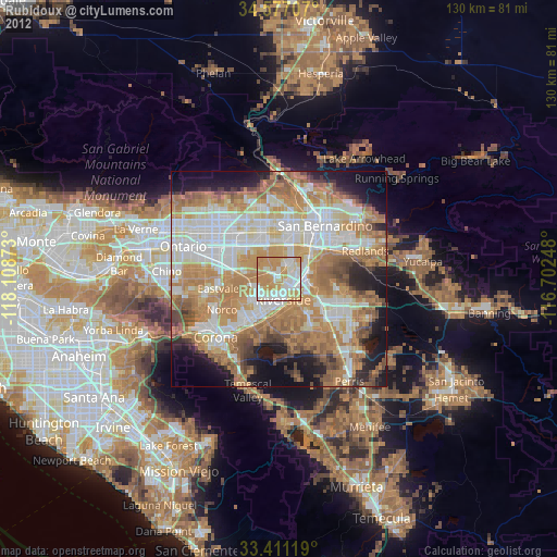
» Earth at Night: Flat Maps 2012, 2016