Pasadena night lights from space
Night Light of Pasadena (California) from space (United States) Src. Average luminocity for 10x10km area is 86.1044% and for 50x50km: 62.067%.
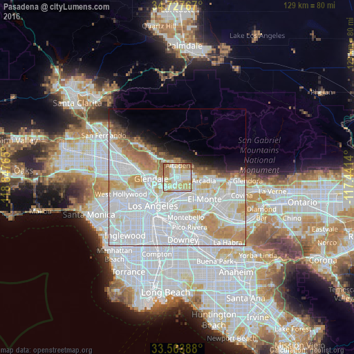

Analysis of Pasadena night lights 2016
Square area 10x10 km:
 18.86%
90-99
31.14%80-89
22.16%70-79
11.17%60-69
11.72%50-59
4.03%40-49
0.92%30-39
0%20-29
0%10-19
0%0-9
0%Square area 50x50 km:
30.88%90-99
15.43%80-89
5.18%70-79
6%60-69
5.23%50-59
2.58%40-49
1.57%30-39
1.43%20-29
1.94%10-19
4.26%0-9
25.5%Clear (daylight) street map image can be seen on geolist.org.
Map coordinates:
34° 43' 39.6" North, 118° 50' 51.5" West
34° 8' 52" North, 118° 8' 40.3" West
33° 33' 50" North, 117° 26' 29" West
Some cities around Pasadena sort by population:
• Alhambra
6.1 km =3.8 mi,  164°
164°
• Altadena
4.8 km =3 mi,  14°
14°
• San Gabriel
6.8 km =4.2 mi,  148°
148°
• South Pasadena
3.6 km =2.2 mi,  188°
188°
• La Cañada Flintridge
7 km =4.3 mi,  325°
325°
• East San Gabriel
7.9 km =4.9 mi,  141°
141°
• San Marino
4.6 km =2.9 mi,  129°
129°
• East Pasadena
6.6 km =4.1 mi,  99°
99°
5381396 (p: 142,250)
Sources (retrieved 2019-11-25):
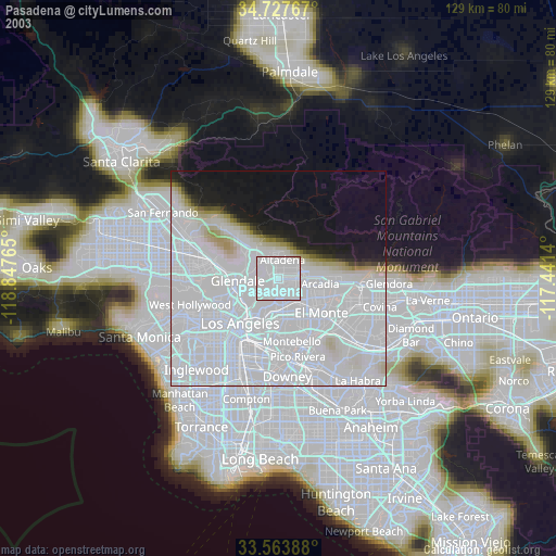
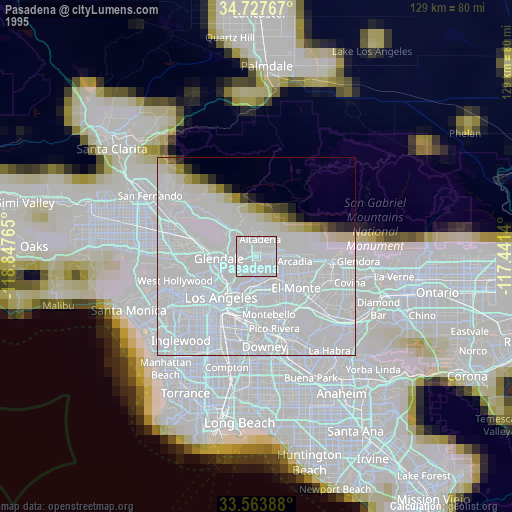
» NASA, Earths city lights 1995
» NASA city lights 2003
» Earth at Night: Flat Maps 2012, 2016