Altadena night lights from space
Night Light of Altadena (California) from space (United States) Src. Average luminocity for 10x10km area is 61.4945% and for 50x50km: 52.3563%.
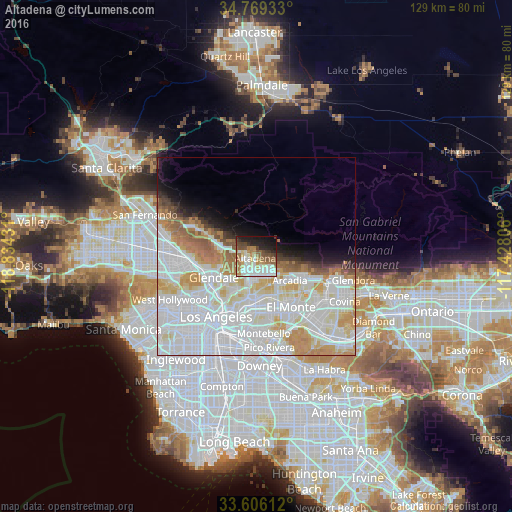
Analysis of Altadena night lights 2016
Square area 10x10 km:
 11.17%
90-99
19.05%80-89
6.23%70-79
6.41%60-69
12.82%50-59
7.14%40-49
9.34%30-39
3.66%20-29
11.54%10-19
11.54%0-9
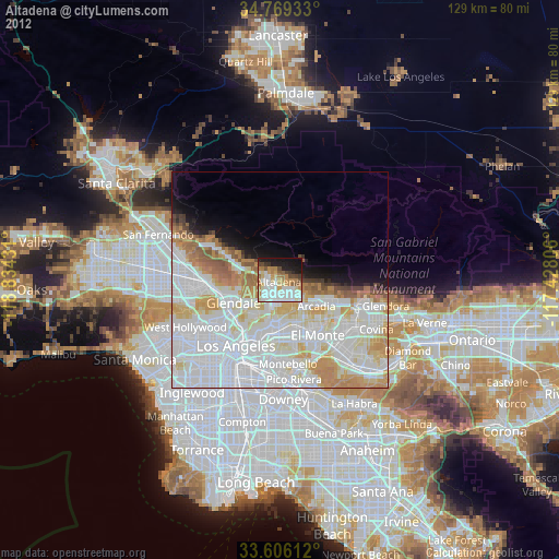
1.1%Square area 50x50 km:
24%90-99
13.44%80-89
5.08%70-79
5.37%60-69
4.6%50-59
2.56%40-49
1.62%30-39
1.45%20-29
1.91%10-19
4.53%0-9
35.43%Clear (daylight) street map image can be seen on geolist.org.
Map coordinates:
34° 46' 9.6" North, 118° 50' 3.5" West
34° 11' 23" North, 118° 7' 52.2" West
33° 36' 22" North, 117° 25' 41" West
Some cities around Altadena sort by population:
• Pasadena
4.8 km =3 mi,  194°
194°
• Alhambra
10.5 km =6.5 mi,  177°
177°
• Arcadia
10.4 km =6.5 mi,  122°
122°
• South Pasadena
8.4 km =5.2 mi, 192°
• La Cañada Flintridge
5.3 km =3.3 mi,  281°
281°
• San Marino
7.9 km =4.9 mi,  163°
163°
• Sierra Madre
7.9 km =4.9 mi,  113°
113°
• East Pasadena
7.8 km =4.8 mi,  137°
137°
5323525 (p: 42,777)
Sources (retrieved 2019-11-25):
» Earth at Night: Flat Maps 2012, 2016