Paramus night lights from space
Night Light of Paramus (New Jersey) from space (United States) Src. Average luminocity for 10x10km area is 89.2398% and for 50x50km: 75.3801%.
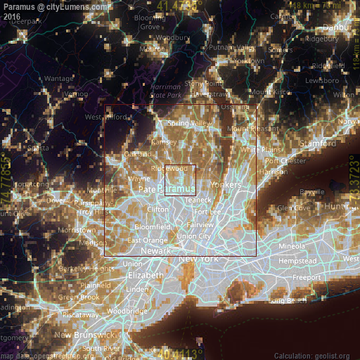
Analysis of Paramus night lights 2016
Square area 10x10 km:
 24.66%
90-99
30.61%80-89
22.28%70-79
17.35%60-69
4.76%50-59
0.34%40-49
0%30-39
0%20-29
0%10-19
0%0-9
0%Square area 50x50 km:
28.45%90-99
16.67%80-89
8.05%70-79
10.9%60-69
12.64%50-59
6.72%40-49
3.73%30-39
2.9%20-29
3.42%10-19
2.34%0-9
4.19%Clear (daylight) street map image can be seen on geolist.org.
Map coordinates:
41° 28' 24.6" North, 74° 46' 42.8" West
40° 56' 40.3" North, 74° 4' 31.5" West
40° 24' 40.7" North, 73° 22' 20.3" West
Some cities around Paramus sort by population:
• Fair Lawn
4.8 km =3 mi,  264°
264°
• Ridgewood
5.2 km =3.2 mi,  318°
318°
• New Milford
4.9 km =3 mi,  102°
102°
• Glen Rock
5.2 km =3.2 mi,  292°
292°
• River Edge
3.5 km =2.2 mi,  120°
120°
• Maywood
4.8 km =3 mi,  166°
166°
• Oradell
3.6 km =2.2 mi,  64°
64°
• Rochelle Park
4.1 km =2.5 mi,  179°
179°
5102387 (p: 26,974)
Sources (retrieved 2019-11-25):
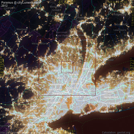
» Earth at Night: Flat Maps 2012, 2016