Palmetto night lights from space
Night Light of Palmetto (Florida) from space (United States) Src. Average luminocity for 10x10km area is 72.1964% and for 50x50km: 34.1626%.
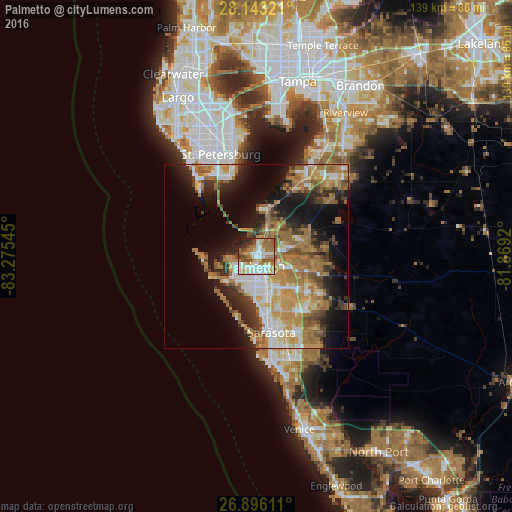
Analysis of Palmetto night lights 2016
Square area 10x10 km:
 15.28%
90-99
18.06%80-89
10.71%70-79
11.31%60-69
17.06%50-59
8.33%40-49
7.94%30-39
2.58%20-29
7.34%10-19
1.39%0-9
0%Square area 50x50 km:
5.06%90-99
5.4%80-89
3.41%70-79
5.95%60-69
10.61%50-59
4.63%40-49
3.77%30-39
4.04%20-29
6.47%10-19
12.35%0-9
38.32%Clear (daylight) street map image can be seen on geolist.org.
Map coordinates:
28° 8' 35.6" North, 83° 16' 31.6" West
27° 31' 17.1" North, 82° 34' 20.4" West
26° 53' 46" North, 81° 52' 9.1" West
Some cities around Palmetto sort by population:
• Sarasota
21 km =13 mi,  168°
168°
• Bradenton
2.5 km =1.6 mi,  185°
185°
• South Bradenton
6.6 km =4.1 mi, 188°
• Bayshore Gardens
10.8 km =6.7 mi, 189°
• Memphis
1.9 km =1.2 mi,  34°
34°
• Longboat Key
14.8 km =9.2 mi,  215°
215°
• North Sarasota
17.2 km =10.7 mi,  162°
162°
• West Samoset
6 km =3.7 mi, 165°
4167632 (p: 13,249)
Sources (retrieved 2019-11-25):
» Earth at Night: Flat Maps 2012, 2016