North Sarasota night lights from space
Night Light of North Sarasota (Florida) from space (United States) Src. Average luminocity for 10x10km area is 84.7045% and for 50x50km: 31.0459%.
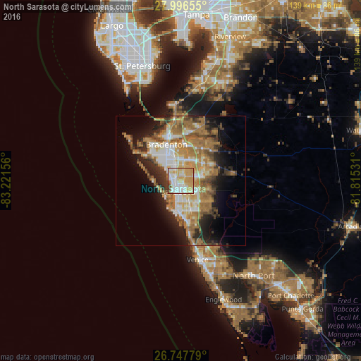
Analysis of North Sarasota night lights 2016
Square area 10x10 km:
 21.21%
90-99
24.43%80-89
13.45%70-79
32.2%60-69
2.46%50-59
3.6%40-49
1.14%30-39
1.52%20-29
0%10-19
0%0-9
0%Square area 50x50 km:
4.77%90-99
5.08%80-89
3.23%70-79
5.64%60-69
9.54%50-59
3.94%40-49
3.57%30-39
3.43%20-29
6.07%10-19
8.68%0-9
46.05%Clear (daylight) street map image can be seen on geolist.org.
Map coordinates:
27° 59' 47.6" North, 83° 13' 17.6" West
27° 22' 26.1" North, 82° 31' 6.3" West
26° 44' 52" North, 81° 48' 55.1" West
Some cities around North Sarasota sort by population:
• Sarasota
4.3 km =2.7 mi,  196°
196°
• Bayshore Gardens
9.1 km =5.7 mi,  308°
308°
• Sarasota Springs
8.2 km =5.1 mi,  152°
152°
• Fruitville
7.8 km =4.8 mi,  129°
129°
• Bee Ridge
10.7 km =6.6 mi,  159°
159°
• Southgate
7.4 km =4.6 mi,  173°
173°
• South Gate Ridge
10 km =6.2 mi, 167°
• West Samoset
11.3 km =7 mi,  340°
340°
4166298 (p: 6,982)
Sources (retrieved 2019-11-25):
» Earth at Night: Flat Maps 2012, 2016