Memphis night lights from space
Night Light of Memphis (Florida) from space (United States) Src. Average luminocity for 10x10km area is 65.869% and for 50x50km: 35.0953%.
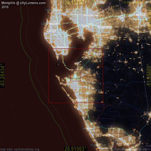
Analysis of Memphis night lights 2016
Square area 10x10 km:
 9.33%
9.33%90-99
10.91%80-89
7.74%70-79
10.91%60-69
24.6%50-59
12.3%40-49
11.9%30-39
3.57%20-29
6.94%10-19
1.79%0-9
0%Square area 50x50 km:
5.26%90-99
5.61%80-89
3.41%70-79
5.71%60-69
10.93%50-59
4.96%40-49
4%30-39
4.24%20-29
6.76%10-19
12.7%0-9
36.42%Clear (daylight) street map image can be seen on geolist.org.
Map coordinates:
28° 9' 27.3" North, 83° 15' 51.6" West
27° 32' 9.1" North, 82° 33' 40.4" West
26° 54' 38.3" North, 81° 51' 29.1" West
Some cities around Memphis sort by population:
• Sarasota
22.4 km =13.9 mi,  172°
172°
• Bradenton
4.3 km =2.7 mi,  198°
198°
• South Bradenton
8.3 km =5.2 mi,  194°
194°
• Bayshore Gardens
12.6 km =7.8 mi, 193°
• Palmetto
1.9 km =1.2 mi,  214°
214°
• Longboat Key
16.8 km =10.4 mi,  215°
215°
• North Sarasota
18.5 km =11.5 mi, 166°
• West Samoset
7.4 km =4.6 mi,  176°
176°
4164047 (p: 7,848)
Sources (retrieved 2019-11-25):
» Earth at Night: Flat Maps 2012, 2016