Sarasota night lights from space
Night Light of Sarasota (Florida) from space (United States) Src. Average luminocity for 10x10km area is 79.9242% and for 50x50km: 30.6648%.
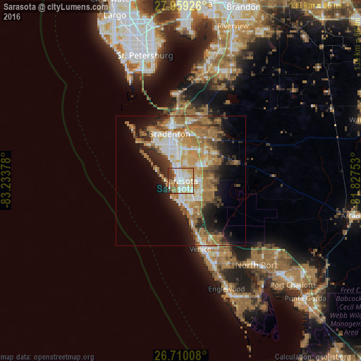

Analysis of Sarasota night lights 2016
Square area 10x10 km:
 22.92%
90-99
23.86%80-89
12.5%70-79
13.07%60-69
8.52%50-59
7.95%40-49
2.27%30-39
7.39%20-29
1.52%10-19
0%0-9
0%Square area 50x50 km:
4.83%90-99
5.23%80-89
3.26%70-79
5.6%60-69
9.4%50-59
3.7%40-49
3.16%30-39
3.23%20-29
5.84%10-19
8.53%0-9
47.22%Clear (daylight) street map image can be seen on geolist.org.
Map coordinates:
27° 57' 33.3" North, 83° 14' 1.6" West
27° 20' 11.1" North, 82° 31' 50.3" West
26° 42' 36.3" North, 81° 49' 39.1" West
Some cities around Sarasota sort by population:
• Bayshore Gardens
11.5 km =7.1 mi,  329°
329°
• Fruitville
7.3 km =4.5 mi,  95°
95°
• Gulf Gate Estates
9.5 km =5.9 mi,  170°
170°
• Bee Ridge
7.6 km =4.7 mi,  139°
139°
• Southgate
3.8 km =2.4 mi,  146°
146°
• North Sarasota
4.3 km =2.7 mi,  16°
16°
• Siesta Key
7.8 km =4.8 mi,  190°
190°
• South Gate Ridge
6.5 km =4 mi, 148°
4172131 (p: 55,118)
Sources (retrieved 2019-11-25):
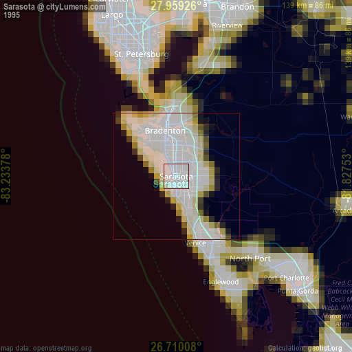
» NASA, Earths city lights 1995
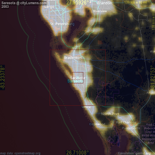
» NASA city lights 2003
» Earth at Night: Flat Maps 2012, 2016