Bradenton night lights from space
Night Light of Bradenton (Florida) from space (United States) Src. Average luminocity for 10x10km area is 83.1845% and for 50x50km: 33.1986%.
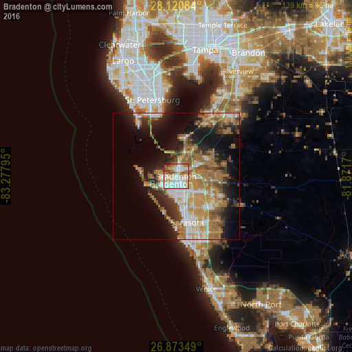
Analysis of Bradenton night lights 2016
Square area 10x10 km:
 28.17%
90-99
25%80-89
10.91%70-79
10.71%60-69
11.11%50-59
4.96%40-49
6.15%30-39
1.39%20-29
1.59%10-19
0%0-9
0%Square area 50x50 km:
4.83%90-99
5.24%80-89
3.46%70-79
5.88%60-69
10.12%50-59
4.49%40-49
3.65%30-39
3.95%20-29
6.26%10-19
12.15%0-9
39.97%Clear (daylight) street map image can be seen on geolist.org.
Map coordinates:
28° 7' 15" North, 83° 16' 40.6" West
27° 29' 56.1" North, 82° 34' 29.4" West
26° 52' 24.6" North, 81° 52' 18.1" West
Some cities around Bradenton sort by population:
• Sarasota
18.6 km =11.6 mi,  166°
166°
• South Bradenton
4 km =2.5 mi,  189°
189°
• Bayshore Gardens
8.3 km =5.2 mi, 190°
• Palmetto
2.5 km =1.6 mi,  5°
5°
• Memphis
4.3 km =2.7 mi,  18°
18°
• Longboat Key
12.7 km =7.9 mi,  220°
220°
• North Sarasota
15 km =9.3 mi,  158°
158°
• West Samoset
3.7 km =2.3 mi,  151°
151°
4148708 (p: 54,437)
Sources (retrieved 2019-11-25):
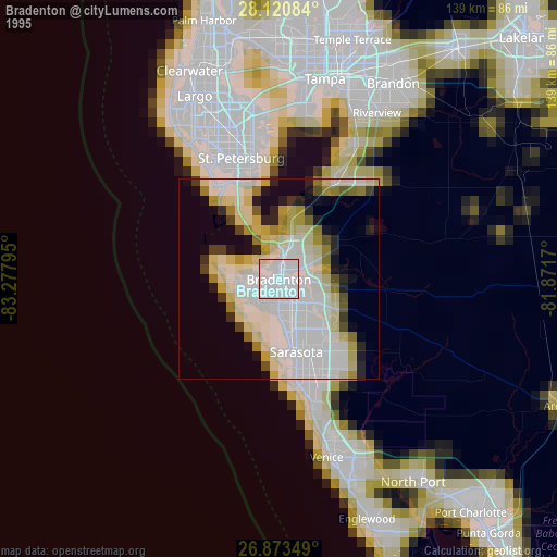
» NASA, Earths city lights 1995
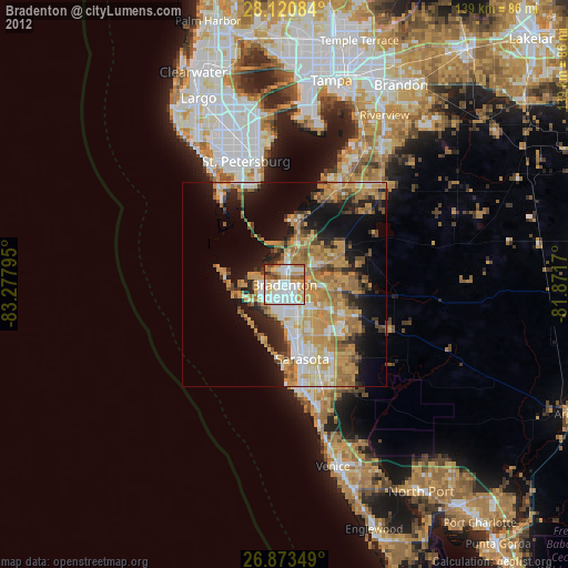
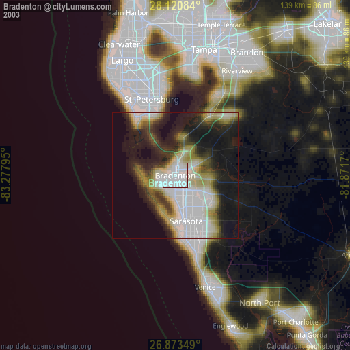
» NASA city lights 2003
» Earth at Night: Flat Maps 2012, 2016