Palatka night lights from space
Night Light of Palatka (Florida) from space (United States) Src. Average luminocity for 10x10km area is 45.881% and for 50x50km: 6.2712%.
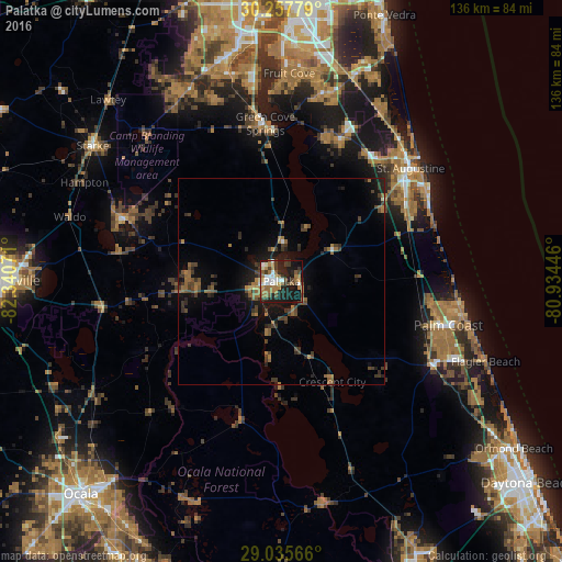
Analysis of Palatka night lights 2016
Square area 10x10 km:
 7.14%
7.14%90-99
7.34%80-89
2.58%70-79
4.17%60-69
16.87%50-59
5.75%40-49
4.76%30-39
8.53%20-29
14.88%10-19
25.6%0-9
2.38%Square area 50x50 km:
0.3%90-99
0.41%80-89
0.17%70-79
0.36%60-69
1.97%50-59
1.15%40-49
1.4%30-39
2.19%20-29
1.72%10-19
4.7%0-9
85.62%Clear (daylight) street map image can be seen on geolist.org.
Map coordinates:
30° 15' 28" North, 82° 20' 26.6" West
29° 38' 54.9" North, 81° 38' 15.3" West
29° 2' 8.4" North, 80° 56' 4.1" West
Some cities around Palatka sort by population:
• Palm Coast
42.1 km =26.2 mi,  99°
99°
• St. Johns
48.9 km =30.4 mi,  10°
10°
• Fleming Island
50.1 km =31.1 mi,  350°
350°
• Saint Augustine
41.5 km =25.8 mi,  48°
48°
• Asbury Lake
47.9 km =29.8 mi,  338°
338°
• Saint Augustine Shores
36.4 km =22.6 mi,  60°
60°
• Green Cove Springs
38.4 km =23.9 mi, 354°
• Saint Augustine Beach
42.4 km =26.3 mi, 57°
4167482 (p: 10,390)
Sources (retrieved 2019-11-25):
» Earth at Night: Flat Maps 2012, 2016