St. Johns night lights from space
Night Light of St. Johns (Florida) from space (United States) Src. Average luminocity for 10x10km area is 55.0985% and for 50x50km: 39.6996%.
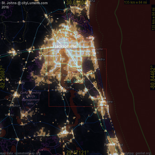
Analysis of St. Johns night lights 2016
Square area 10x10 km:
 2.08%
2.08%90-99
3.22%80-89
2.84%70-79
17.8%60-69
28.98%50-59
10.61%40-49
9.09%30-39
7.77%20-29
10.42%10-19
7.2%0-9
0%Square area 50x50 km:
6.25%90-99
6.53%80-89
3.84%70-79
8.83%60-69
10.94%50-59
3.79%40-49
4.63%30-39
4.17%20-29
8.09%10-19
15.51%0-9
27.43%Clear (daylight) street map image can be seen on geolist.org.
Map coordinates:
30° 41' 16.9" North, 82° 15' 3.1" West
30° 4' 53.4" North, 81° 32' 51.9" West
29° 28' 16.4" North, 80° 50' 40.6" West
Some cities around St. Johns sort by population:
• Ponte Vedra Beach
23.5 km =14.6 mi,  41°
41°
• Lakeside
21.9 km =13.6 mi,  284°
284°
• Fruit Cove
9.6 km =6 mi,  289°
289°
• Fleming Island
16.5 km =10.3 mi,  274°
274°
• Palm Valley
18.7 km =11.6 mi,  55°
55°
• Bellair-Meadowbrook Terrace
21.7 km =13.5 mi,  299°
299°
• Orange Park
17.9 km =11.1 mi, 301°
• Green Cove Springs
16 km =9.9 mi,  231°
231°
11704266 (p: 40,000)
Sources (retrieved 2019-11-25):
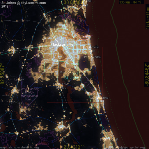
» Earth at Night: Flat Maps 2012, 2016