Lynwood night lights from space
Night Light of Lynwood (Illinois) from space (United States) Src. Average luminocity for 10x10km area is 64.1169% and for 50x50km: 42.5941%.
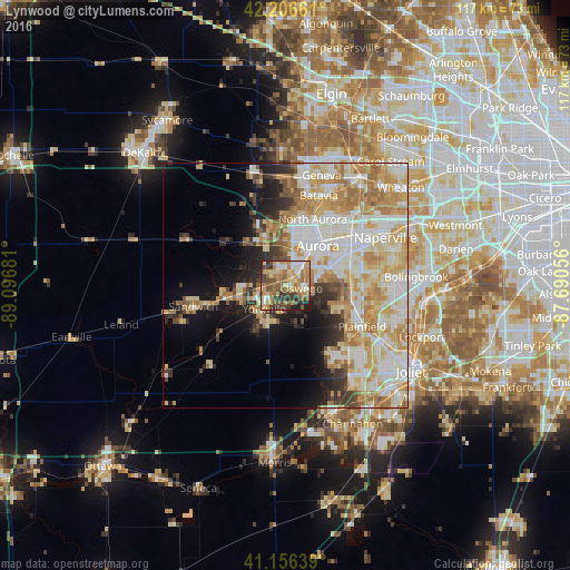
Analysis of Lynwood night lights 2016
Square area 10x10 km:
 7.31%
7.31%90-99
7.63%80-89
14.12%70-79
15.1%60-69
14.94%50-59
13.15%40-49
10.06%30-39
10.06%20-29
6.33%10-19
1.3%0-9
0%Square area 50x50 km:
8.68%90-99
10.02%80-89
8.25%70-79
7.8%60-69
6.91%50-59
3.28%40-49
2.55%30-39
3.31%20-29
4.59%10-19
7.96%0-9
36.66%Clear (daylight) street map image can be seen on geolist.org.
Map coordinates:
42° 12' 23.8" North, 89° 5' 48.5" West
41° 41' 1.1" North, 88° 23' 37.2" West
41° 9' 23" North, 87° 41' 26" West
Some cities around Lynwood sort by population:
• Aurora
10.5 km =6.5 mi,  35°
35°
• Oswego
3.5 km =2.2 mi,  91°
91°
• Montgomery
6.6 km =4.1 mi, 37°
• Yorkville
6.5 km =4 mi,  223°
223°
• North Aurora
14.7 km =9.1 mi,  22°
22°
• Plano
12.1 km =7.5 mi,  258°
258°
• Sugar Grove
9.6 km =6 mi,  334°
334°
• Boulder Hill
5.8 km =3.6 mi,  56°
56°
4900740 (p: 7,713)
Sources (retrieved 2019-11-25):
» Earth at Night: Flat Maps 2012, 2016