Carol City night lights from space
Night Light of Carol City (Florida) from space (United States) Src. Average luminocity for 10x10km area is 99.5714% and for 50x50km: 65.5341%.
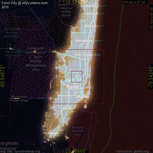
Analysis of Carol City night lights 2016
Square area 10x10 km:
 81.94%
90-99
17.66%80-89
0.4%70-79
0%60-69
0%50-59
0%40-49
0%30-39
0%20-29
0%10-19
0%0-9
0%Square area 50x50 km:
36.14%90-99
13.13%80-89
2.94%70-79
3.86%60-69
5.58%50-59
3.93%40-49
4.62%30-39
4.23%20-29
3.83%10-19
5.26%0-9
16.48%Clear (daylight) street map image can be seen on geolist.org.
Map coordinates:
26° 34' 16.4" North, 80° 56' 55.4" West
25° 56' 26.3" North, 80° 14' 44.2" West
25° 18' 24" North, 79° 32' 32.9" West
Some cities around Carol City sort by population:
• Miramar
5.4 km =3.4 mi,  14°
14°
• Miami Gardens
0.2 km =0.1 mi,  0°
0°
• Golden Glades
5.6 km =3.5 mi,  125°
125°
• Norland
3.5 km =2.2 mi,  74°
74°
• Opa-locka
4.3 km =2.7 mi,  186°
186°
• Scott Lake
1.4 km =0.9 mi,  86°
86°
• Andover
4.5 km =2.8 mi,  46°
46°
• Lake Lucerne
2.7 km =1.7 mi, 8°
4150066 (p: 63,031)
Sources (retrieved 2019-11-25):
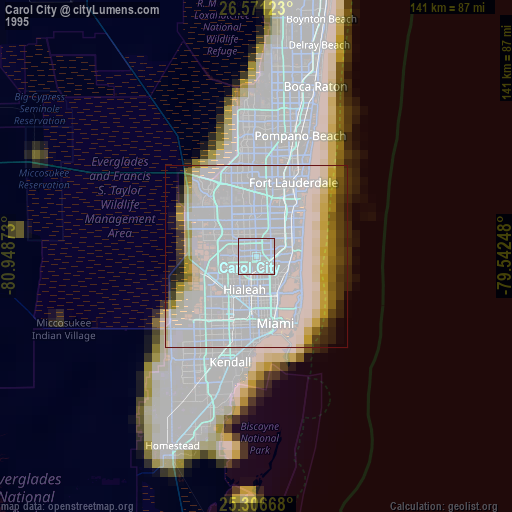
» NASA, Earths city lights 1995
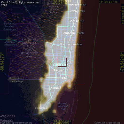
» NASA city lights 2003
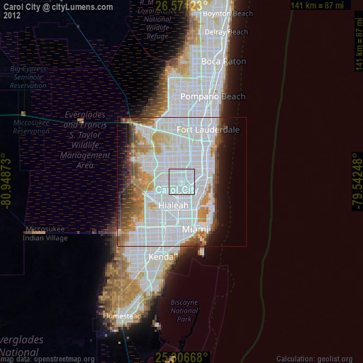
» Earth at Night: Flat Maps 2012, 2016