Oakland Park night lights from space
Night Light of Oakland Park (Florida) from space (United States) Src. Average luminocity for 10x10km area is 91.3214% and for 50x50km: 51.4427%.
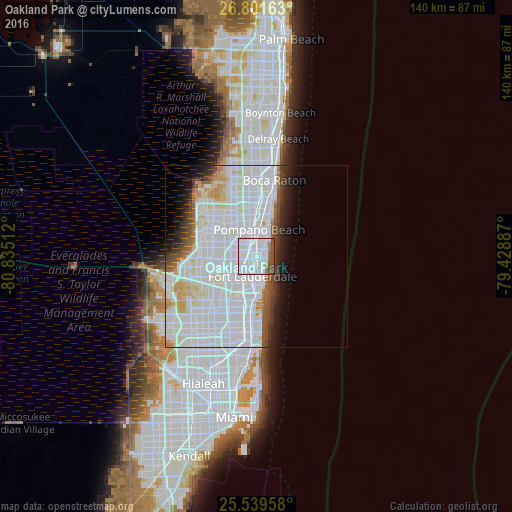
Analysis of Oakland Park night lights 2016
Square area 10x10 km:
 69.84%
90-99
11.31%80-89
0.6%70-79
0.4%60-69
4.37%50-59
7.14%40-49
6.35%30-39
0%20-29
0%10-19
0%0-9
0%Square area 50x50 km:
27.48%90-99
14.02%80-89
3.05%70-79
2.12%60-69
1.92%50-59
2.27%40-49
2.64%30-39
2.48%20-29
2.87%10-19
4.68%0-9
36.49%Clear (daylight) street map image can be seen on geolist.org.
Map coordinates:
26° 48' 5.9" North, 80° 50' 6.4" West
26° 10' 20.3" North, 80° 7' 55.2" West
25° 32' 22.5" North, 79° 25' 43.9" West
Some cities around Oakland Park sort by population:
• Fort Lauderdale
5.7 km =3.5 mi,  191°
191°
• Pompano Beach
7.3 km =4.5 mi,  5°
5°
• Sunrise
4.7 km =2.9 mi,  156°
156°
• Lauderhill
8.9 km =5.5 mi,  246°
246°
• Lauderdale Lakes
7.7 km =4.8 mi,  265°
265°
• Wilton Manors
1.5 km =0.9 mi,  207°
207°
• North Andrews Gardens
2.5 km =1.6 mi,  330°
330°
• Lauderdale-by-the-Sea
4.2 km =2.6 mi,  58°
58°
4166638 (p: 44,319)
Sources (retrieved 2019-11-25):
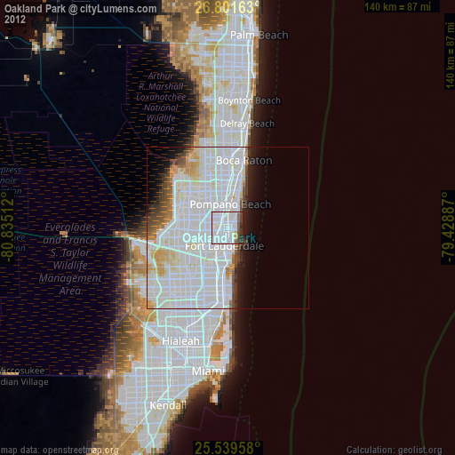
» Earth at Night: Flat Maps 2012, 2016