Wilton Manors night lights from space
Night Light of Wilton Manors (Florida) from space (United States) Src. Average luminocity for 10x10km area is 95.0397% and for 50x50km: 52.447%.
Analysis of Wilton Manors night lights 2016
Square area 10x10 km:
 75.2%
75.2%90-99
12.7%80-89
0.6%70-79
0.4%60-69
5.16%50-59
5.95%40-49
0%30-39
0%20-29
0%10-19
0%0-9
0%Square area 50x50 km:
28.13%90-99
14.09%80-89
3.04%70-79
2.31%60-69
2.1%50-59
2.31%40-49
2.67%30-39
2.5%20-29
2.84%10-19
4.66%0-9
35.37%Clear (daylight) street map image can be seen on geolist.org.
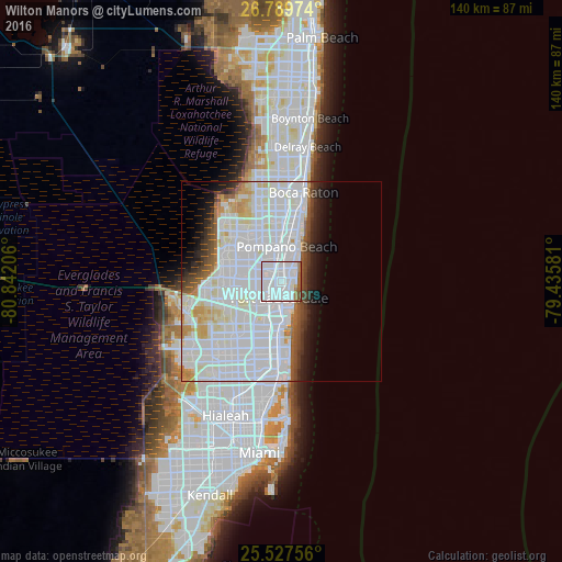
Map coordinates:
26° 47' 23.1" North, 80° 50' 31.4" West
26° 9' 37.3" North, 80° 8' 20.1" West
25° 31' 39.2" North, 79° 26' 8.9" West
Some cities around Wilton Manors sort by population:
• Fort Lauderdale
4.3 km =2.7 mi,  185°
185°
• Sunrise
3.9 km =2.4 mi,  138°
138°
• Lauderhill
7.8 km =4.8 mi,  253°
253°
• Oakland Park
1.5 km =0.9 mi,  27°
27°
• Lauderdale Lakes
7 km =4.3 mi,  275°
275°
• North Andrews Gardens
3.5 km =2.2 mi,  351°
351°
• Melrose Park
7.5 km =4.7 mi,  226°
226°
• Lauderdale-by-the-Sea
5.5 km =3.4 mi,  50°
50°
4178485 (p: 12,385)
Sources (retrieved 2019-11-25):
» Earth at Night: Flat Maps 2012, 2016