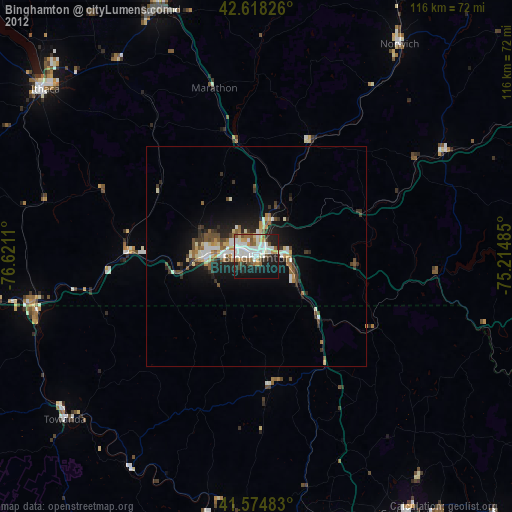
Binghamton night lights from space
Night Light of Binghamton (New York) from space (United States) Src. Average luminocity for 10x10km area is 56.0697% and for 50x50km: 7.0623%.
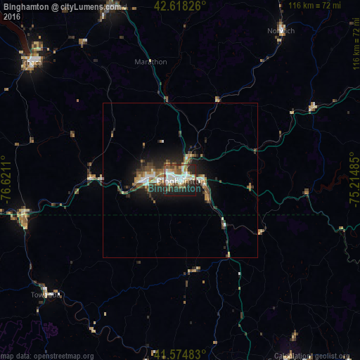
Analysis of Binghamton night lights 2016
Square area 10x10 km:
 13.64%
90-99
14.39%80-89
6.52%70-79
3.94%60-69
6.97%50-59
7.12%40-49
6.97%30-39
5.76%20-29
18.33%10-19
16.36%0-9
0%Square area 50x50 km:
0.99%90-99
1.15%80-89
0.59%70-79
0.63%60-69
1.05%50-59
1.05%40-49
1.17%30-39
1.17%20-29
2.58%10-19
4.88%0-9
84.75%Clear (daylight) street map image can be seen on geolist.org.
Map coordinates:
42° 37' 5.7" North, 76° 37' 16" West
42° 5' 55.3" North, 75° 55' 4.7" West
41° 34' 29.4" North, 75° 12' 53.5" West
Some cities around Binghamton sort by population:
• Cortland
59.9 km =37.2 mi,  338°
338°
• Johnson City
3.9 km =2.4 mi,  299°
299°
• Endicott
10.8 km =6.7 mi,  269°
269°
• Endwell
8.6 km =5.3 mi,  280°
280°
• Norwich
58 km =36 mi,  33°
33°
• South Hill
60 km =37.3 mi,  307°
307°
• Lakeview
37.3 km =23.2 mi,  6°
6°
• Sayre
51.1 km =31.8 mi,  254°
254°
5109177 (p: 46,032)
Sources (retrieved 2019-11-25):
» Earth at Night: Flat Maps 2012, 2016