North Madison night lights from space
Night Light of North Madison (Indiana) from space (United States) Src. Average luminocity for 10x10km area is 35.3214% and for 50x50km: 3.3547%.
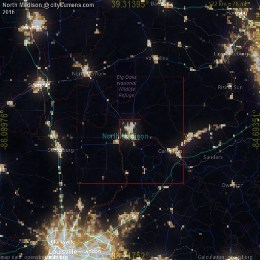
Analysis of North Madison night lights 2016
Square area 10x10 km:
 3.23%
3.23%90-99
4.93%80-89
8.33%70-79
3.57%60-69
4.93%50-59
5.44%40-49
5.44%30-39
3.91%20-29
6.29%10-19
37.07%0-9
16.84%Square area 50x50 km:
0.25%90-99
0.41%80-89
0.54%70-79
0.3%60-69
0.43%50-59
0.6%40-49
0.33%30-39
0.45%20-29
0.6%10-19
3.36%0-9
92.73%Clear (daylight) street map image can be seen on geolist.org.
Map coordinates:
39° 18' 50.2" North, 86° 5' 59.1" West
38° 46' 4.2" North, 85° 23' 47.9" West
38° 13' 3.1" North, 84° 41' 36.6" West
Some cities around North Madison sort by population:
• Seymour
47.7 km =29.6 mi,  296°
296°
• Madison
3.8 km =2.4 mi,  157°
157°
• Sellersburg
51.6 km =32.1 mi,  217°
217°
• La Grange
40.1 km =24.9 mi,  177°
177°
• Charlestown
42.3 km =26.3 mi,  214°
214°
• Scottsburg
33.7 km =20.9 mi,  254°
254°
• Buckner
42.9 km =26.7 mi,  185°
185°
• Oak Park
57.6 km =35.8 mi, 206°
4262293 (p: 12,435)
Sources (retrieved 2019-11-25):
» Earth at Night: Flat Maps 2012, 2016