North Fort Myers night lights from space
Night Light of North Fort Myers (Florida) from space (United States) Src. Average luminocity for 10x10km area is 81.9375% and for 50x50km: 37.2583%.
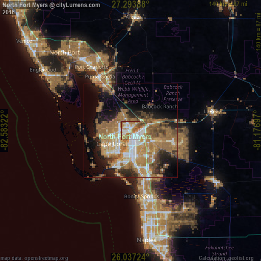
Analysis of North Fort Myers night lights 2016
Square area 10x10 km:
 23.48%
90-99
21.4%80-89
6.82%70-79
17.23%60-69
22.54%50-59
6.44%40-49
2.08%30-39
0%20-29
0%10-19
0%0-9
0%Square area 50x50 km:
4.81%90-99
5.7%80-89
3.18%70-79
6%60-69
13.25%50-59
7.75%40-49
4.39%30-39
3.87%20-29
5.85%10-19
9.91%0-9
35.29%Clear (daylight) street map image can be seen on geolist.org.
Map coordinates:
27° 17' 38" North, 82° 34' 59.6" West
26° 40' 2.2" North, 81° 52' 48.3" West
26° 2' 14.1" North, 81° 10' 37.1" West
Some cities around North Fort Myers sort by population:
• Cape Coral
13.5 km =8.4 mi,  210°
210°
• Fort Myers
6.4 km =4 mi,  142°
142°
• Iona
18.3 km =11.4 mi, 207°
• Cypress Lake
14.5 km =9 mi,  187°
187°
• Villas
13.1 km =8.1 mi,  175°
175°
• Gateway
16.3 km =10.1 mi,  127°
127°
• McGregor
12.3 km =7.6 mi,  196°
196°
• Fort Myers Shores
14.1 km =8.8 mi,  70°
70°
4166195 (p: 39,407)
Sources (retrieved 2019-11-25):
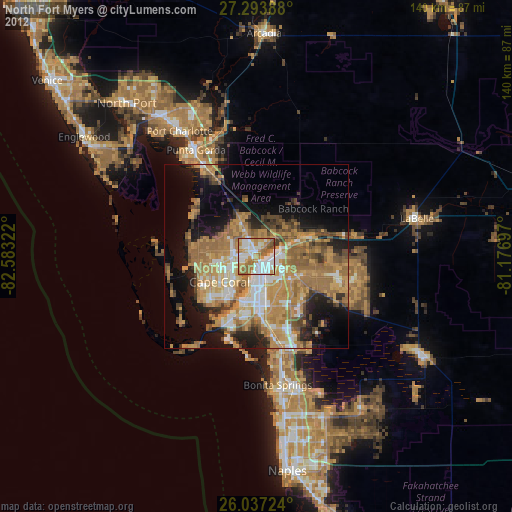
» Earth at Night: Flat Maps 2012, 2016