Fort Myers Shores night lights from space
Night Light of Fort Myers Shores (Florida) from space (United States) Src. Average luminocity for 10x10km area is 46.6548% and for 50x50km: 32.2655%.
Analysis of Fort Myers Shores night lights 2016
Square area 10x10 km:
 2.78%
2.78%90-99
3.77%80-89
1.59%70-79
2.18%60-69
21.03%50-59
18.25%40-49
14.48%30-39
8.93%20-29
8.13%10-19
15.67%0-9
3.17%Square area 50x50 km:
4.36%90-99
5.12%80-89
2.76%70-79
5.18%60-69
11.21%50-59
7.2%40-49
4.49%30-39
3.45%20-29
3.33%10-19
6.91%0-9
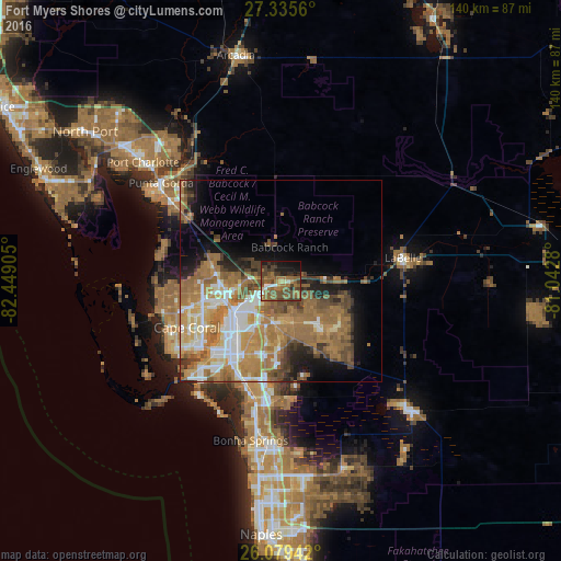
45.99%Clear (daylight) street map image can be seen on geolist.org.
Map coordinates:
27° 20' 8.2" North, 82° 26' 56.6" West
26° 42' 33.3" North, 81° 44' 45.3" West
26° 4' 45.9" North, 81° 2' 34.1" West
Some cities around Fort Myers Shores sort by population:
• Cape Coral
26 km =16.2 mi,  231°
231°
• Lehigh Acres
15.2 km =9.4 mi,  127°
127°
• North Fort Myers
14.1 km =8.8 mi,  250°
250°
• San Carlos Park
27.5 km =17.1 mi,  191°
191°
• Cypress Lake
24.4 km =15.2 mi,  218°
218°
• Villas
21.5 km =13.4 mi,  214°
214°
• Gateway
14.6 km =9.1 mi,  181°
181°
• McGregor
23.5 km =14.6 mi, 225°
4156006 (p: 5,487)
Sources (retrieved 2019-11-25):
» Earth at Night: Flat Maps 2012, 2016