Sahuarita night lights from space
Night Light of Sahuarita (Arizona) from space (United States) Src. Average luminocity for 10x10km area is 18.771% and for 50x50km: 14.5302%.
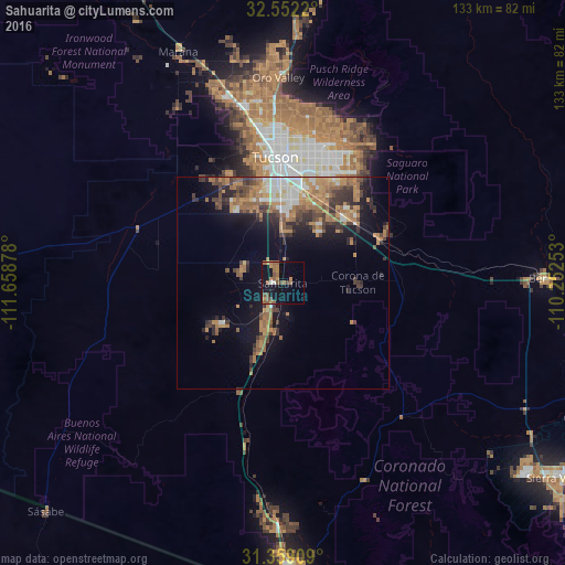
Analysis of Sahuarita night lights 2016
Square area 10x10 km:
 0%
0%90-99
1.4%80-89
0%70-79
3.67%60-69
6.99%50-59
6.64%40-49
3.5%30-39
0.87%20-29
0%10-19
19.76%0-9
57.17%Square area 50x50 km:
1.44%90-99
1.72%80-89
0.74%70-79
2.97%60-69
3.73%50-59
2.76%40-49
2.46%30-39
2.91%20-29
2.58%10-19
6.97%0-9
71.74%Clear (daylight) street map image can be seen on geolist.org.
Map coordinates:
32° 33' 7.9" North, 111° 39' 31.6" West
31° 57' 27.3" North, 110° 57' 20.3" West
31° 21' 32.7" North, 110° 15' 9.1" West
Some cities around Sahuarita sort by population:
• Drexel Heights
21.5 km =13.4 mi,  341°
341°
• Green Valley
12 km =7.5 mi,  197°
197°
• Tucson Estates
28.6 km =17.8 mi,  333°
333°
• Vail
25.1 km =15.6 mi,  66°
66°
• Valencia West
24.5 km =15.2 mi,  322°
322°
• South Tucson
26.9 km =16.7 mi,  357°
357°
• Corona de Tucson
17 km =10.6 mi,  87°
87°
• Summit
12.2 km =7.6 mi,  1°
1°
5312544 (p: 25,707)
Sources (retrieved 2019-11-25):
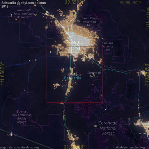
» Earth at Night: Flat Maps 2012, 2016