New Bedford night lights from space
Night Light of New Bedford (Massachusetts) from space (United States) Src. Average luminocity for 10x10km area is 58.7159% and for 50x50km: 12.5778%.
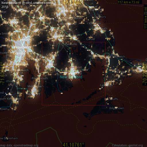
Analysis of New Bedford night lights 2016
Square area 10x10 km:
 14.45%
90-99
13.31%80-89
6.66%70-79
7.47%60-69
6.49%50-59
5.68%40-49
9.09%30-39
10.55%20-29
13.47%10-19
11.36%0-9
1.46%Square area 50x50 km:
1.5%90-99
1.81%80-89
1.36%70-79
1.13%60-69
1.43%50-59
1.84%40-49
1.86%30-39
2.37%20-29
4.7%10-19
10.78%0-9
71.22%Clear (daylight) street map image can be seen on geolist.org.
Map coordinates:
42° 9' 31" North, 71° 37' 48.5" West
41° 38' 6.9" North, 70° 55' 37.2" West
41° 6' 27.4" North, 70° 13' 26" West
Some cities around New Bedford sort by population:
• Fall River
20.3 km =12.6 mi,  291°
291°
• Fairhaven
2 km =1.2 mi,  82°
82°
• Head of Westport
11.3 km =7 mi,  261°
261°
• Acushnet
5.3 km =3.3 mi,  17°
17°
• Freetown
17.1 km =10.6 mi,  329°
329°
• Mattapoisett
9.6 km =6 mi,  74°
74°
• Bliss Corner
2.8 km =1.7 mi,  199°
199°
• Marion
15.4 km =9.6 mi,  62°
62°
4945121 (p: 94,958)
Sources (retrieved 2019-11-25):
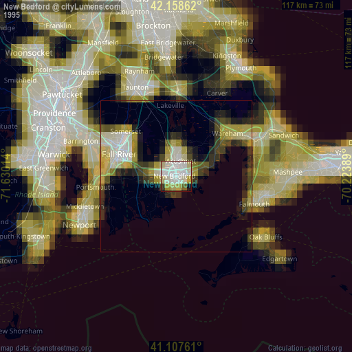
» NASA, Earths city lights 1995
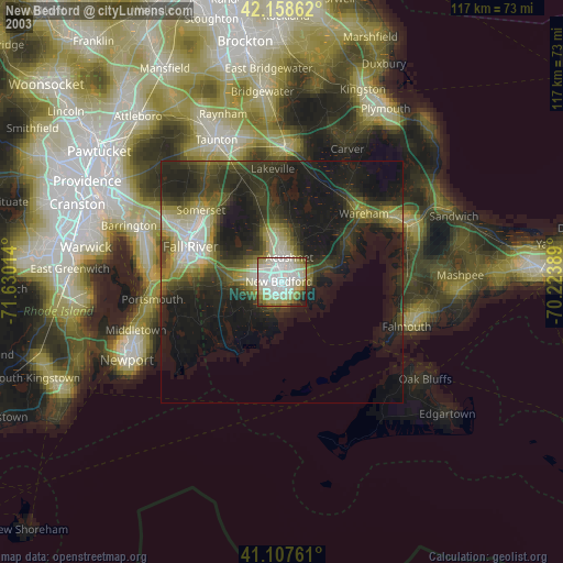
» NASA city lights 2003
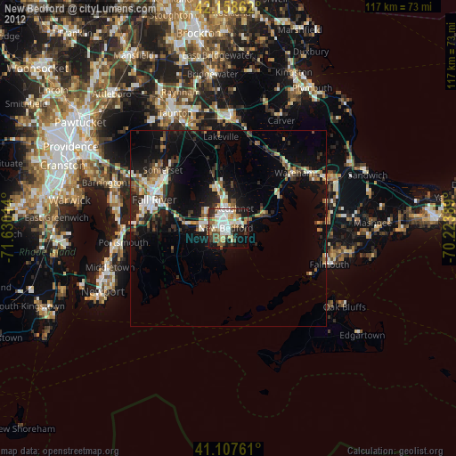
» Earth at Night: Flat Maps 2012, 2016