New London night lights from space
Night Light of New London (Connecticut) from space (United States) Src. Average luminocity for 10x10km area is 64.9048% and for 50x50km: 12.7528%.
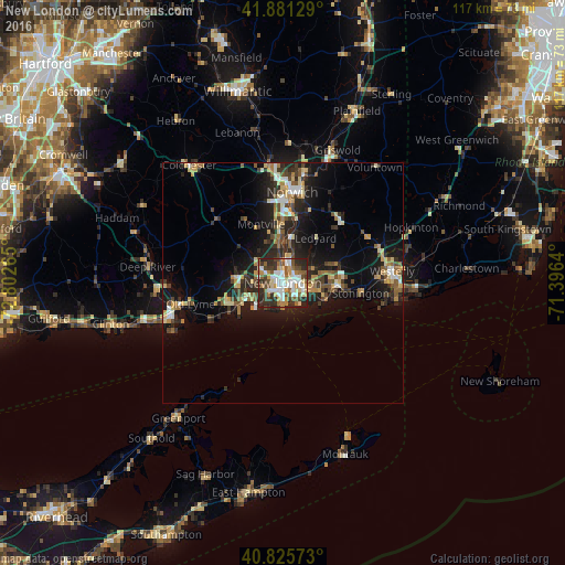
Analysis of New London night lights 2016
Square area 10x10 km:
 14.12%
90-99
17.18%80-89
7.14%70-79
7.65%60-69
7.82%50-59
9.52%40-49
9.86%30-39
10.88%20-29
15.82%10-19
0%0-9
0%Square area 50x50 km:
1.23%90-99
1.71%80-89
1.91%70-79
1.49%60-69
1.45%50-59
1.88%40-49
2.03%30-39
2.19%20-29
4.88%10-19
9.37%0-9
71.87%Clear (daylight) street map image can be seen on geolist.org.
Map coordinates:
41° 52' 52.6" North, 72° 48' 9.5" West
41° 21' 20.3" North, 72° 5' 58.3" West
40° 49' 32.6" North, 71° 23' 47" West
Some cities around New London sort by population:
• Norwich
18.9 km =11.7 mi,  5°
5°
• Montville Center
14.4 km =8.9 mi,  342°
342°
• Waterford
3.4 km =2.1 mi,  242°
242°
• Westerly
22.8 km =14.2 mi,  83°
83°
• Ledyard
11.8 km =7.3 mi,  37°
37°
• Groton
1.9 km =1.2 mi,  109°
109°
• Conning Towers-Nautilus Park
4.2 km =2.6 mi, 37°
• Pawcatuck
22.3 km =13.9 mi, 83°
4839416 (p: 27,179)
Sources (retrieved 2019-11-25):
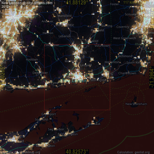
» Earth at Night: Flat Maps 2012, 2016