Monroe night lights from space
Night Light of Monroe (Michigan) from space (United States) Src. Average luminocity for 10x10km area is 54.7016% and for 50x50km: 16.2713%.
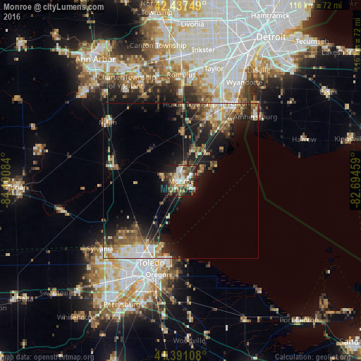
Analysis of Monroe night lights 2016
Square area 10x10 km:
 9.52%
9.52%90-99
11.27%80-89
8.1%70-79
5.71%60-69
8.89%50-59
6.98%40-49
10%30-39
10.63%20-29
16.67%10-19
12.06%0-9
0.16%Square area 50x50 km:
1.97%90-99
2.93%80-89
1.74%70-79
2.04%60-69
2.41%50-59
2.61%40-49
2.53%30-39
2.61%20-29
4.83%10-19
9.78%0-9
66.55%Clear (daylight) street map image can be seen on geolist.org.
Map coordinates:
42° 26' 15" North, 84° 6' 3" West
41° 54' 59.1" North, 83° 23' 51.8" West
41° 23' 27.9" North, 82° 41' 40.5" West
Some cities around Monroe sort by population:
• Toledo
31 km =19.3 mi,  204°
204°
• Trenton
30.7 km =19.1 mi,  36°
36°
• Woodhaven
27.9 km =17.3 mi,  27°
27°
• Lambertville
25.4 km =15.8 mi,  228°
228°
• Flat Rock
21.8 km =13.5 mi,  23°
23°
• Temperance
20.8 km =12.9 mi,  222°
222°
• South Monroe
2.8 km =1.7 mi, 215°
• Milan
30.1 km =18.7 mi,  308°
308°
5002344 (p: 20,092)
Sources (retrieved 2019-11-25):
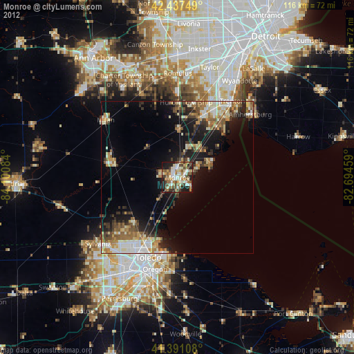
» Earth at Night: Flat Maps 2012, 2016