Winchester night lights from space
Night Light of Winchester (Nevada) from space (United States) Src. Average luminocity for 10x10km area is 99.859% and for 50x50km: 49.601%.
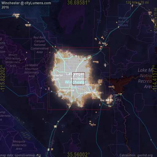
Analysis of Winchester night lights 2016
Square area 10x10 km:
 91.76%
90-99
8.24%80-89
0%70-79
0%60-69
0%50-59
0%40-49
0%30-39
0%20-29
0%10-19
0%0-9
0%Square area 50x50 km:
21.87%90-99
12%80-89
3.16%70-79
2.9%60-69
5.28%50-59
3.5%40-49
2.78%30-39
3.03%20-29
5.73%10-19
11.08%0-9
28.67%Clear (daylight) street map image can be seen on geolist.org.
Map coordinates:
36° 41' 44.9" North, 115° 49' 19.3" West
36° 7' 47.9" North, 115° 7' 8" West
35° 33' 36.1" North, 114° 24' 56.8" West
Some cities around Winchester sort by population:
• Las Vegas
5.3 km =3.3 mi,  341°
341°
• Henderson
15.9 km =9.9 mi,  129°
129°
• North Las Vegas
7.7 km =4.8 mi,  0°
0°
• Paradise
4.4 km =2.7 mi,  214°
214°
• Sunrise Manor
9.9 km =6.2 mi,  24°
24°
• Spring Valley
11.6 km =7.2 mi,  257°
257°
• Enterprise
16.1 km =10 mi,  223°
223°
• Whitney
8.2 km =5.1 mi,  115°
115°
5515345 (p: 27,978)
Sources (retrieved 2019-11-25):
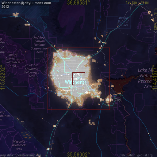
» Earth at Night: Flat Maps 2012, 2016