Indian Trail night lights from space
Night Light of Indian Trail (North Carolina) from space (United States) Src. Average luminocity for 10x10km area is 80.0524% and for 50x50km: 50.9597%.
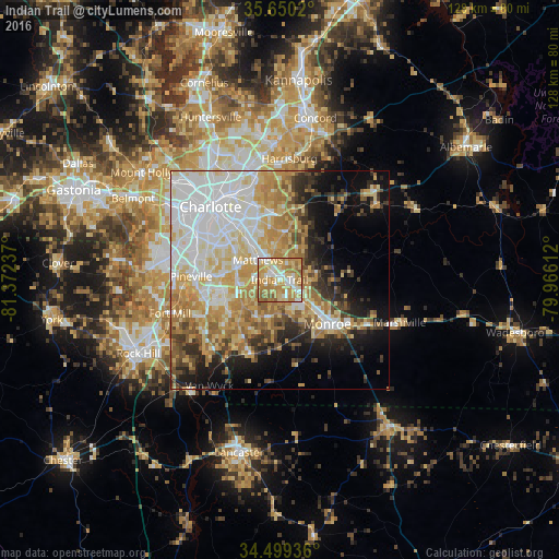
Analysis of Indian Trail night lights 2016
Square area 10x10 km:
 14.34%
90-99
13.81%80-89
19.58%70-79
25%60-69
23.08%50-59
4.2%40-49
0%30-39
0%20-29
0%10-19
0%0-9
0%Square area 50x50 km:
12.87%90-99
10.09%80-89
9.59%70-79
8.27%60-69
8.15%50-59
3.79%40-49
4.2%30-39
4.27%20-29
5.62%10-19
9.66%0-9
23.49%Clear (daylight) street map image can be seen on geolist.org.
Map coordinates:
35° 39' 0.7" North, 81° 22' 20.5" West
35° 4' 36.5" North, 80° 40' 9.3" West
34° 29' 57.7" North, 79° 57' 58" West
Some cities around Indian Trail sort by population:
• Monroe
14.9 km =9.3 mi,  132°
132°
• Matthews
6.7 km =4.2 mi,  311°
311°
• Mint Hill
11.6 km =7.2 mi,  9°
9°
• Stallings
2.2 km =1.4 mi,  315°
315°
• Weddington
10.3 km =6.4 mi,  234°
234°
• Wesley Chapel
7.8 km =4.8 mi,  183°
183°
• Unionville
14.6 km =9.1 mi,  85°
85°
• Marvin
16.3 km =10.1 mi, 234°
4472687 (p: 37,073)
Sources (retrieved 2019-11-25):
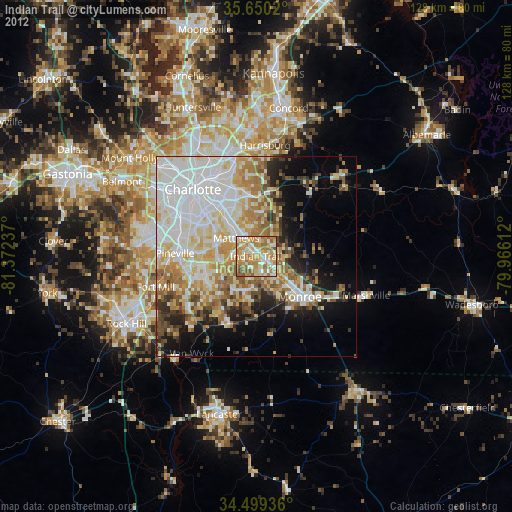
» Earth at Night: Flat Maps 2012, 2016