Newark night lights from space
Night Light of Newark (Delaware) from space (United States) Src. Average luminocity for 10x10km area is 73.0146% and for 50x50km: 35.2386%.
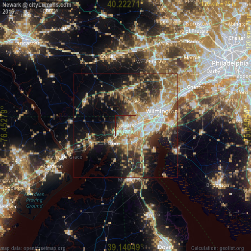
Analysis of Newark night lights 2016
Square area 10x10 km:
 14.29%
90-99
21.75%80-89
12.34%70-79
14.12%60-69
13.47%50-59
4.06%40-49
4.55%30-39
4.55%20-29
7.79%10-19
3.08%0-9
0%Square area 50x50 km:
4.83%90-99
5.98%80-89
5.01%70-79
5.63%60-69
6.35%50-59
5.56%40-49
4.78%30-39
6.24%20-29
8.67%10-19
12.18%0-9
34.76%Clear (daylight) street map image can be seen on geolist.org.
Map coordinates:
40° 13' 21.8" North, 76° 27' 10" West
39° 41' 1.4" North, 75° 44' 58.8" West
39° 8' 25.8" North, 75° 2' 47.5" West
Some cities around Newark sort by population:
• Bear
9.9 km =6.2 mi,  127°
127°
• Elkton
11.2 km =7 mi,  219°
219°
• Brookside
2.7 km =1.7 mi, 133°
• Glasgow
8.8 km =5.5 mi,  177°
177°
• Hockessin
12.4 km =7.7 mi,  21°
21°
• Pike Creek Valley
7.3 km =4.5 mi,  36°
36°
• North Star
9 km =5.6 mi, 16°
• Pike Creek
6.5 km =4 mi, 36°
4143861 (p: 33,817)
Sources (retrieved 2019-11-25):
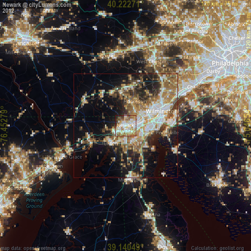
» Earth at Night: Flat Maps 2012, 2016