Hialeah Gardens night lights from space
Night Light of Hialeah Gardens (Florida) from space (United States) Src. Average luminocity for 10x10km area is 98.3977% and for 50x50km: 63.4813%.
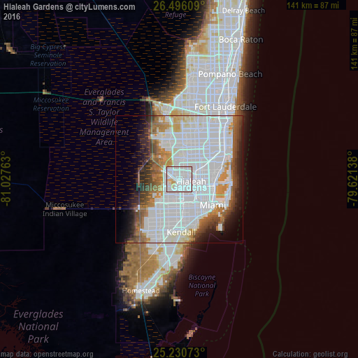
Analysis of Hialeah Gardens night lights 2016
Square area 10x10 km:
 75.76%
90-99
17.61%80-89
5.68%70-79
0.95%60-69
0%50-59
0%40-49
0%30-39
0%20-29
0%10-19
0%0-9
0%Square area 50x50 km:
34.49%90-99
12.51%80-89
2.66%70-79
3.63%60-69
5.82%50-59
4.06%40-49
4.67%30-39
4.48%20-29
4.51%10-19
5.67%0-9
17.52%Clear (daylight) street map image can be seen on geolist.org.
Map coordinates:
26° 29' 45.9" North, 81° 1' 39.5" West
25° 51' 54.4" North, 80° 19' 28.2" West
25° 13' 50.6" North, 79° 37' 17" West
Some cities around Hialeah Gardens sort by population:
• Doral
5.9 km =3.7 mi,  211°
211°
• Country Club
9.3 km =5.8 mi,  4°
4°
• West Little River
8.8 km =5.5 mi,  95°
95°
• Miami Lakes
5.1 km =3.2 mi,  18°
18°
• Opa-locka
8.5 km =5.3 mi,  60°
60°
• Miami Springs
5.9 km =3.7 mi,  143°
143°
• Westview
8.5 km =5.3 mi,  77°
77°
• Palm Springs North
7.8 km =4.8 mi,  353°
353°
4158482 (p: 23,926)
Sources (retrieved 2019-11-25):
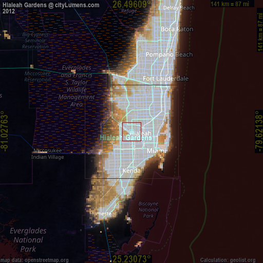
» Earth at Night: Flat Maps 2012, 2016