Mexia night lights from space
Night Light of Mexia (Texas) from space (United States) Src. Average luminocity for 10x10km area is 18.3242% and for 50x50km: 2.3553%.
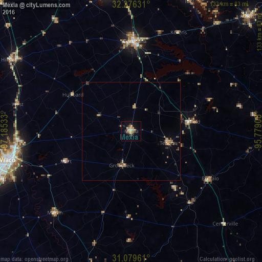
Analysis of Mexia night lights 2016
Square area 10x10 km:
 1.83%
1.83%90-99
1.1%80-89
4.4%70-79
1.28%60-69
3.85%50-59
1.83%40-49
1.83%30-39
5.49%20-29
0.73%10-19
6.78%0-9
70.88%Square area 50x50 km:
0.09%90-99
0.07%80-89
0.5%70-79
0.28%60-69
0.32%50-59
0.47%40-49
0.38%30-39
0.62%20-29
0.44%10-19
0.52%0-9
96.32%Clear (daylight) street map image can be seen on geolist.org.
Map coordinates:
32° 16' 34.7" North, 97° 11' 7.2" West
31° 40' 47.6" North, 96° 28' 55.9" West
31° 4' 46.6" North, 95° 46' 44.7" West
Some cities around Mexia sort by population:
• Waco
64.6 km =40.1 mi,  257°
257°
• Corsicana
46.2 km =28.7 mi,  1°
1°
• Robinson
64.4 km =40 mi,  248°
248°
• Bellmead
60.1 km =37.3 mi, 260°
• Woodway
71.1 km =44.2 mi, 254°
• Lacy-Lakeview
59 km =36.7 mi, 264°
• Center
19.6 km =12.2 mi,  163°
163°
• Marlin
57.3 km =35.6 mi,  223°
223°
4710963 (p: 7,406)
Sources (retrieved 2019-11-25):
» Earth at Night: Flat Maps 2012, 2016